Area Overview for TS5 8AS
Photos of TS5 8AS
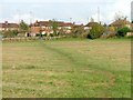
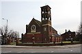
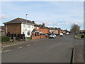
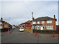
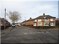
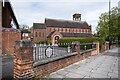
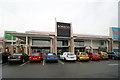
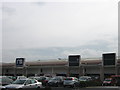
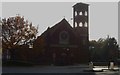
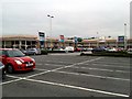
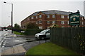
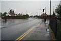
23 photos from this area
Area Information
Key information about the TS5 8AS including its size, population, and administrative classification.
- Area Type
- Postcode
- Area Size
- 3966 m²
- Population
- 1767
- Population Density
- 4281 people/km²
House Prices in TS5 8AS
8
Properties
£116,458
Average Sold Price
£47,800
Lowest Price
£156,500
Highest Price
Showing 8 properties
| Address | Type | Beds | Baths | Last Sale Price | Last Sale Date | |
|---|---|---|---|---|---|---|
| 60 Mandale Road, Middlesbrough, TS5 8AS | Semi-detached | 3 | 1 | £156,500 | Apr 2024 | |
| 56 Mandale Road, Middlesbrough, TS5 8AS | Semi-detached | 3 | 1 | £155,000 | Nov 2022 | |
| 54 Mandale Road, Middlesbrough, TS5 8AS | Semi-detached | - | - | £139,950 | May 2008 | |
| 64 Mandale Road, Middlesbrough, TS5 8AS | Semi-detached | - | - | £100,000 | Sep 2006 | |
| 50 Mandale Road, Middlesbrough, TS5 8AS | Semi-detached | - | - | £99,500 | Nov 2002 | |
| 52 Mandale Road, Middlesbrough, TS5 8AS | Semi-detached | 3 | 1 | £47,800 | Oct 1997 | |
| 58 Mandale Road, Middlesbrough, TS5 8AS | Semi-detached | - | - | - | - | |
| 62 Mandale Road, Middlesbrough, TS5 8AS | Semi-detached | - | - | - | - |
Energy Efficiency in TS5 8AS
Amenities
Schools
| Rank | School | Type | Entry gender | Ages |
|---|
Explore more schools in this area
Go to Schools tabDemographics
Household Size
Family (3-5 people)
most common
Accommodation Type
Houses
most common
Tenure
82
majority
Ethnic Group
White
most common
Religion
N/A
most common
Household Composition
N/A
most common
Age
47
median
Adults (30-64 years)
most common
Household Deprivation
N/A
with no deprivation
NS-SEC
25
in Lower managerial occupations
Explore more demographic insights in this area
Go to Demographics tabPlanning
Planning Constraints
- Flood RiskPremium
- Ramsar Wetland SitesPremium
- Area of Outstanding Natural BeautyPremium
- Protected Nature ReservePremium
- Protected WoodlandPremium