Area Overview for TS5 7HU
Photos of TS5 7HU
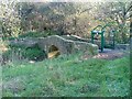
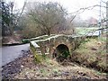
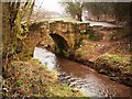
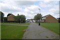
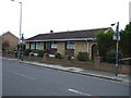
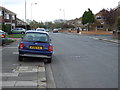
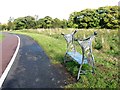
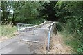
9 photos from this area
Area Information
Key information about the TS5 7HU including its size, population, and administrative classification.
- Area Type
- Postcode
- Area Size
- 7446 m²
- Population
- 1423
- Population Density
- 1648 people/km²
House Prices in TS5 7HU
17
Properties
£176,125
Average Sold Price
£95,000
Lowest Price
£267,500
Highest Price
Showing 17 properties
| Address | Type | Beds | Baths | Last Sale Price | Last Sale Date | |
|---|---|---|---|---|---|---|
| 135 Hall Drive, Middlesbrough, TS5 7HU | house | - | - | £215,000 | Jun 2020 | |
| 129 Hall Drive, Middlesbrough, TS5 7HU | house | 4 | - | £267,500 | Nov 2016 | |
| 137 Hall Drive, Middlesbrough, TS5 7HU | house | - | - | £160,000 | Oct 2015 | |
| 139 Hall Drive, Middlesbrough, TS5 7HU | Semi-detached | 4 | - | £165,000 | Oct 2015 | |
| 117 Hall Drive, Middlesbrough, TS5 7HU | Detached | 4 | 2 | £204,000 | Dec 2013 | |
| 141 Hall Drive, Middlesbrough, TS5 7HU | Semi-detached | 4 | 1 | £174,500 | Jun 2010 | |
| 119 Hall Drive, Middlesbrough, TS5 7HU | Detached | - | - | £128,000 | Aug 2003 | |
| 121 Hall Drive, Middlesbrough, TS5 7HU | Detached | - | - | £95,000 | Mar 2000 | |
| 113 Hall Drive, Middlesbrough, TS5 7HU | Detached | 4 | - | - | - | |
| 123 Hall Drive, Middlesbrough, TS5 7HU | Detached | - | - | - | - |
Page 1 of 2
Energy Efficiency in TS5 7HU
Amenities
Schools
| Rank | School | Type | Entry gender | Ages |
|---|
Explore more schools in this area
Go to Schools tabDemographics
Household Size
One person
most common
Accommodation Type
Houses
most common
Tenure
83
majority
Ethnic Group
White
most common
Religion
N/A
most common
Household Composition
N/A
most common
Age
47
median
Adults (30-64 years)
most common
Household Deprivation
N/A
with no deprivation
NS-SEC
30
in Lower managerial occupations
Explore more demographic insights in this area
Go to Demographics tabPlanning
Planning Constraints
- Flood RiskPremium
- Ramsar Wetland SitesPremium
- Area of Outstanding Natural BeautyPremium
- Protected Nature ReservePremium
- Protected WoodlandPremium