Area Overview for TS4 2QN
Photos of TS4 2QN
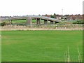
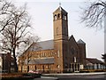
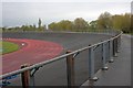
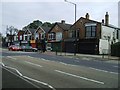
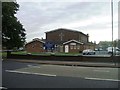
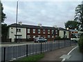
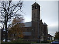
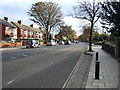
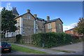
9 photos from this area
Area Information
Key information about the TS4 2QN including its size, population, and administrative classification.
- Area Type
- Postcode
- Area Size
- 8360 m²
- Population
- 1955
- Population Density
- 5532 people/km²
House Prices in TS4 2QN
22
Properties
£96,492
Average Sold Price
£38,000
Lowest Price
£129,950
Highest Price
Showing 22 properties
| Address | Type | Beds | Baths | Last Sale Price | Last Sale Date | |
|---|---|---|---|---|---|---|
| 69 Highfield Road, Middlesbrough, TS4 2QN | Bungalow | 2 | 1 | £70,000 | Dec 2024 | |
| 59 Highfield Road, Middlesbrough, TS4 2QN | Bungalow | 2 | 1 | £126,000 | May 2024 | |
| 97 Highfield Road, Middlesbrough, TS4 2QN | house | - | - | £125,000 | May 2017 | |
| 57 Highfield Road, Middlesbrough, TS4 2QN | Bungalow | - | - | £129,950 | Aug 2016 | |
| 89 Highfield Road, Middlesbrough, TS4 2QN | Bungalow | - | - | £105,000 | Feb 2016 | |
| 67 Highfield Road, Middlesbrough, TS4 2QN | Semi-detached | 2 | 1 | £119,000 | May 2015 | |
| 87 Highfield Road, Middlesbrough, TS4 2QN | house | 2 | - | £74,000 | Mar 2012 | |
| 81 Highfield Road, Middlesbrough, TS4 2QN | Bungalow | 2 | - | £93,000 | Jan 2012 | |
| 93 Highfield Road, Middlesbrough, TS4 2QN | house | 3 | - | £129,000 | Mar 2006 | |
| 85 Highfield Road, Middlesbrough, TS4 2QN | Semi-detached | - | - | £84,950 | Jul 2003 |
Page 1 of 3
Energy Efficiency in TS4 2QN
Amenities
Schools
| Rank | School | Type | Entry gender | Ages |
|---|
Explore more schools in this area
Go to Schools tabDemographics
Household Size
One person
most common
Accommodation Type
Houses
most common
Tenure
36
majority
Ethnic Group
White
most common
Religion
N/A
most common
Household Composition
N/A
most common
Age
47
median
Adults (30-64 years)
most common
Household Deprivation
N/A
with no deprivation
NS-SEC
16
in Lower managerial occupations
Explore more demographic insights in this area
Go to Demographics tabPlanning
Planning Constraints
- Flood RiskPremium
- Ramsar Wetland SitesPremium
- Area of Outstanding Natural BeautyPremium
- Protected Nature ReservePremium
- Protected WoodlandPremium