Area Overview for TS29 6PF
Photos of TS29 6PF
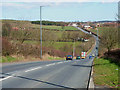
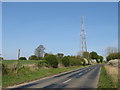
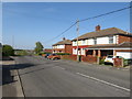
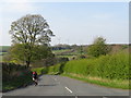
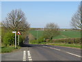
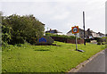
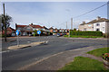
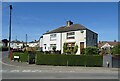
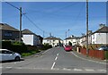
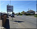
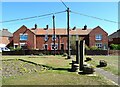
24 photos from this area
Area Information
Key information about the TS29 6PF including its size, population, and administrative classification.
- Area Type
- Postcode
- Area Size
- 1.6 hectares
- Population
- 1450
- Population Density
- 601 people/km²
House Prices in TS29 6PF
33
Properties
£85,309
Average Sold Price
£22,000
Lowest Price
£243,000
Highest Price
Showing 33 properties
| Address | Type | Beds | Baths | Last Sale Price | Last Sale Date | |
|---|---|---|---|---|---|---|
| 21 Front Street North, Trimdon, TS29 6PF | Terraced | 3 | 1 | £68,000 | Nov 2023 | |
| 8 Front Street North, Trimdon, TS29 6PF | house | 2 | - | £64,000 | Oct 2020 | |
| West Farm, 11 Front Street North, Trimdon, TS29 6PF | Terraced | - | - | £75,000 | Aug 2018 | |
| 6A Front Street North, Trimdon, TS29 6PF | Semi-detached | 4 | 2 | £243,000 | Jul 2018 | |
| 20 Front Street North, Trimdon, TS29 6PF | house | - | - | £62,000 | Mar 2018 | |
| 7 Front Street North, Trimdon, TS29 6PF | Terraced | 2 | - | £88,000 | Dec 2017 | |
| 23 Front Street North, Trimdon, TS29 6PF | house | - | - | £110,000 | Oct 2016 | |
| 6 Front Street North, Trimdon, TS29 6PF | house | - | - | £104,000 | Dec 2015 | |
| 1 Front Street North, Trimdon, TS29 6PF | house | 3 | - | £116,000 | Sep 2012 | |
| 5A Front Street North, Trimdon, TS29 6PF | Semi-detached | 2 | - | £70,000 | Jul 2011 |
Page 1 of 4
Energy Efficiency in TS29 6PF
Amenities
Schools
| Rank | School | Type | Entry gender | Ages |
|---|
Explore more schools in this area
Go to Schools tabDemographics
Household Size
Two person
most common
Accommodation Type
Houses
most common
Tenure
67
majority
Ethnic Group
White
most common
Religion
N/A
most common
Household Composition
N/A
most common
Age
47
median
Adults (30-64 years)
most common
Household Deprivation
N/A
with no deprivation
NS-SEC
24
in Lower managerial occupations
Explore more demographic insights in this area
Go to Demographics tabPlanning
Planning Constraints
- Flood RiskPremium
- Ramsar Wetland SitesPremium
- Area of Outstanding Natural BeautyPremium
- Protected Nature ReservePremium
- Protected WoodlandPremium