Area Overview for TS29 6NP
Photos of TS29 6NP
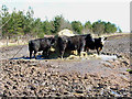
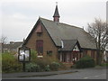
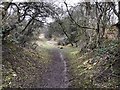
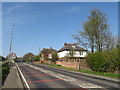
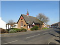
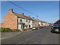
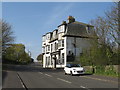
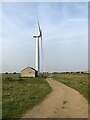

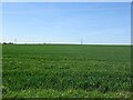
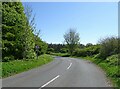
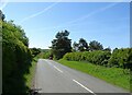
19 photos from this area
Area Information
Key information about the TS29 6NP including its size, population, and administrative classification.
- Area Type
- Postcode
- Area Size
- 1.1 km²
- Population
- 1776
- Population Density
- 433 people/km²
House Prices in TS29 6NP
9
Properties
£265,500
Average Sold Price
£146,000
Lowest Price
£385,000
Highest Price
Showing 9 properties
| Address | Type | Beds | Baths | Last Sale Price | Last Sale Date | |
|---|---|---|---|---|---|---|
| Grange Farm, Salters Lane, Trimdon Grange, TS29 6NP | Bungalow | - | - | £385,000 | Apr 2024 | |
| East Grange, Salters Lane, Trimdon Grange, TS29 6NP | house | - | - | £146,000 | Sep 2004 | |
| Caravan, Colash Stables Adjacent West Grange, Unc 36.3 From Salters Lane Junc To C 67 Junc, Trimdon Grange, TS29 6NP | Mobile Home | - | - | - | - | |
| Amerston Holding, Unc 36.3 From Salters Lane Junc To C 67 Junc, Trimdon Grange, TS29 6NP | Terraced | - | - | - | - | |
| East Lodge, Salters Lane, Trimdon Grange, TS29 6NP | Bungalow | - | - | - | - | |
| West Grange, Salters Lane, Trimdon Grange, TS29 6NP | house | - | - | - | - | |
| Tyresville Stables, Unc 36.3 From Salters Lane Junc To C 67 Junc, Trimdon Grange, TS29 6NP | Terraced | - | - | - | - | |
| Caravan, Tyresville Stables, Unc 36.3 From Salters Lane Junc To C 67 Junc, Trimdon Grange, TS29 6NP | Mobile Home | - | - | - | - | |
| Stables, Unc 36.3 From Salters Lane Junc To C 67 Junc, Trimdon Grange, TS29 6NP | Equestrian | - | - | - | - |
Energy Efficiency in TS29 6NP
Amenities
Schools
| Rank | School | Type | Entry gender | Ages |
|---|
Explore more schools in this area
Go to Schools tabDemographics
Household Size
Two person
most common
Accommodation Type
Houses
most common
Tenure
65
majority
Ethnic Group
White
most common
Religion
N/A
most common
Household Composition
N/A
most common
Age
47
median
Adults (30-64 years)
most common
Household Deprivation
N/A
with no deprivation
NS-SEC
19
in Lower managerial occupations
Explore more demographic insights in this area
Go to Demographics tabPlanning
Planning Constraints
- Flood RiskPremium
- Ramsar Wetland SitesPremium
- Area of Outstanding Natural BeautyPremium
- Protected Nature ReservePremium
- Protected WoodlandPremium