Area Overview for TS28 5AP
Photos of TS28 5AP
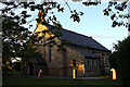
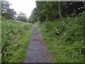
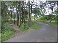
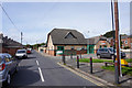

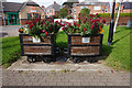
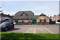
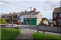
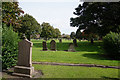
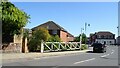
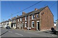
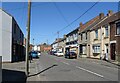
29 photos from this area
Area Information
Key information about the TS28 5AP including its size, population, and administrative classification.
- Area Type
- Postcode
- Area Size
- 2.0 hectares
- Population
- 1922
- Population Density
- 1626 people/km²
House Prices in TS28 5AP
68
Properties
£47,911
Average Sold Price
£6,000
Lowest Price
£125,000
Highest Price
Showing 68 properties
| Address | Type | Beds | Baths | Last Sale Price | Last Sale Date | |
|---|---|---|---|---|---|---|
| 63 North Road West, Wingate, TS28 5AP | Terraced | 2 | 1 | £17,000 | Nov 2025 | |
| 62 North Road West, Wingate, TS28 5AP | Terraced | 2 | 1 | £28,000 | Jul 2025 | |
| 3 North Road West, Wingate, TS28 5AP | Terraced | 3 | 1 | £60,500 | Apr 2025 | |
| 51 North Road West, Wingate, TS28 5AP | house | 2 | 1 | £27,500 | Jul 2024 | |
| 49 North Road West, Wingate, TS28 5AP | Terraced | 2 | 1 | £50,000 | Jul 2024 | |
| 33 North Road West, Wingate, TS28 5AP | Terraced | 2 | 1 | £36,000 | Mar 2024 | |
| 55 North Road West, Wingate, TS28 5AP | Terraced | 3 | 1 | £37,500 | Mar 2024 | |
| 68 North Road West, Wingate, TS28 5AP | Terraced | 2 | 1 | £51,000 | Jan 2024 | |
| 32 North Road West, Wingate, TS28 5AP | Terraced | 2 | 1 | £76,999 | Nov 2023 | |
| 64 North Road West, Wingate, TS28 5AP | Terraced | 3 | 1 | £54,000 | Jul 2023 |
Page 1 of 7
Energy Efficiency in TS28 5AP
Amenities
Schools
| Rank | School | Type | Entry gender | Ages |
|---|
Explore more schools in this area
Go to Schools tabDemographics
Household Size
Two person
most common
Accommodation Type
Houses
most common
Tenure
78
majority
Ethnic Group
White
most common
Religion
N/A
most common
Household Composition
N/A
most common
Age
47
median
Adults (30-64 years)
most common
Household Deprivation
N/A
with no deprivation
NS-SEC
31
in Lower managerial occupations
Explore more demographic insights in this area
Go to Demographics tabPlanning
Planning Constraints
- Flood RiskPremium
- Ramsar Wetland SitesPremium
- Area of Outstanding Natural BeautyPremium
- Protected Nature ReservePremium
- Protected WoodlandPremium