Area Overview for TS26 9HT
Photos of TS26 9HT

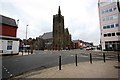

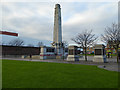
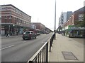
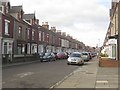


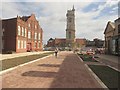
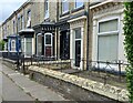
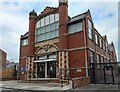
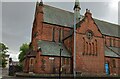
65 photos from this area
Area Information
Key information about the TS26 9HT including its size, population, and administrative classification.
- Area Type
- Postcode
- Area Size
- 3184 m²
- Population
- 1487
- Population Density
- 467066 people/km²
House Prices in TS26 9HT
6
Properties
£132,475
Average Sold Price
£130,000
Lowest Price
£134,950
Highest Price
Showing 6 properties
| Address | Type | Beds | Baths | Last Sale Price | Last Sale Date | |
|---|---|---|---|---|---|---|
| 135 Park Road, Hartlepool, TS26 9HT | Terraced | 5 | 2 | £130,000 | Jan 2021 | |
| 137 Park Road, Hartlepool, TS26 9HT | Terraced | - | - | £134,950 | Apr 2007 | |
| The Oakroyd, 133 Park Road, Hartlepool, TS26 9HT | Lodge | 10 | 10 | - | - | |
| Room 8, The Oakroyd, 133 Park Road, Hartlepool, TS26 9HT | Flat | - | - | - | - | |
| Meynell & Mason Funeral Directors, 129-131 Park Road, Hartlepool, TS26 9HT | commercial | - | - | - | - | |
| Flat B, 131 Park Road, Hartlepool, TS26 9HT | Flat | - | - | - | - |
Energy Efficiency in TS26 9HT
Amenities
Schools
| Rank | School | Type | Entry gender | Ages |
|---|
Explore more schools in this area
Go to Schools tabDemographics
Household Size
Family (3-5 people)
most common
Accommodation Type
Houses
most common
Tenure
81
majority
Ethnic Group
White
most common
Religion
N/A
most common
Household Composition
N/A
most common
Age
47
median
Adults (30-64 years)
most common
Household Deprivation
N/A
with no deprivation
NS-SEC
26
in Lower managerial occupations
Explore more demographic insights in this area
Go to Demographics tabPlanning
Planning Constraints
- Flood RiskPremium
- Ramsar Wetland SitesPremium
- Area of Outstanding Natural BeautyPremium
- Protected Nature ReservePremium
- Protected WoodlandPremium