Area Overview for TS26 9BJ
Photos of TS26 9BJ
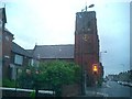
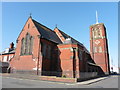
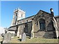
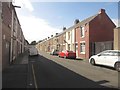
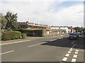
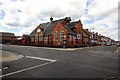
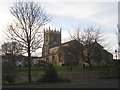
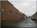
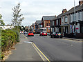
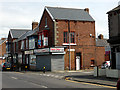
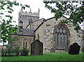
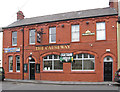
20 photos from this area
Area Information
Key information about the TS26 9BJ including its size, population, and administrative classification.
- Area Type
- Postcode
- Area Size
- 3577 m²
- Population
- 1201
- Population Density
- 5757 people/km²
House Prices in TS26 9BJ
41
Properties
£52,732
Average Sold Price
£16,000
Lowest Price
£240,000
Highest Price
Showing 41 properties
| Address | Type | Beds | Baths | Last Sale Price | Last Sale Date | |
|---|---|---|---|---|---|---|
| 23 Baden Street, Hartlepool, TS26 9BJ | Terraced | 2 | 1 | £24,000 | Oct 2025 | |
| 37 Baden Street, Hartlepool, TS26 9BJ | house | - | - | £24,000 | Aug 2025 | |
| 27 Baden Street, Hartlepool, TS26 9BJ | Terraced | 2 | 1 | £27,000 | Jul 2025 | |
| 9 Baden Street, Hartlepool, TS26 9BJ | house | 2 | 1 | £76,999 | Jan 2025 | |
| 19 Baden Street, Hartlepool, TS26 9BJ | Terraced | 2 | 1 | £50,000 | May 2024 | |
| 7 Baden Street, Hartlepool, TS26 9BJ | Terraced | 2 | 1 | £69,999 | Mar 2024 | |
| 5 Baden Street, Hartlepool, TS26 9BJ | Terraced | 2 | 1 | £69,999 | Sep 2023 | |
| 21 Baden Street, Hartlepool, TS26 9BJ | Terraced | 2 | 1 | £23,000 | Aug 2023 | |
| 28 Baden Street, Hartlepool, TS26 9BJ | Terraced | 2 | 1 | £66,999 | Apr 2023 | |
| 8 Baden Street, Hartlepool, TS26 9BJ | Terraced | 2 | 1 | £69,999 | Mar 2023 |
Page 1 of 5
Energy Efficiency in TS26 9BJ
Amenities
Schools
| Rank | School | Type | Entry gender | Ages |
|---|
Explore more schools in this area
Go to Schools tabDemographics
Household Size
One person
most common
Accommodation Type
Houses
most common
Tenure
41
majority
Ethnic Group
White
most common
Religion
N/A
most common
Household Composition
N/A
most common
Age
47
median
Adults (30-64 years)
most common
Household Deprivation
N/A
with no deprivation
NS-SEC
16
in Lower managerial occupations
Explore more demographic insights in this area
Go to Demographics tabPlanning
Planning Constraints
- Flood RiskPremium
- Ramsar Wetland SitesPremium
- Area of Outstanding Natural BeautyPremium
- Protected Nature ReservePremium
- Protected WoodlandPremium