Area Overview for TS26 9AX
Photos of TS26 9AX
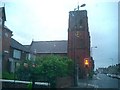
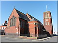
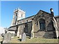
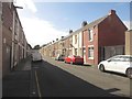
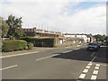
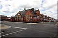
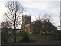
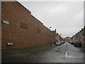
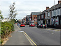
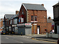
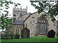
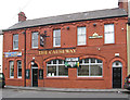
20 photos from this area
Area Information
Key information about the TS26 9AX including its size, population, and administrative classification.
- Area Type
- Postcode
- Area Size
- 4457 m²
- Population
- 1487
- Population Density
- 333646 people/km²
House Prices in TS26 9AX
18
Properties
£113,333
Average Sold Price
£43,000
Lowest Price
£175,000
Highest Price
Showing 18 properties
| Address | Type | Beds | Baths | Last Sale Price | Last Sale Date | |
|---|---|---|---|---|---|---|
| 88 Elwick Road, Hartlepool, TS26 9AX | Terraced | 5 | 1 | £138,000 | Oct 2025 | |
| 100 Elwick Road, Hartlepool, TS26 9AX | Terraced | 5 | 1 | £122,000 | Dec 2022 | |
| 80 Elwick Road, Hartlepool, TS26 9AX | Terraced | 3 | - | £108,000 | Jul 2022 | |
| 98 Elwick Road, Hartlepool, TS26 9AX | house | - | - | £110,000 | Mar 2021 | |
| 96 Elwick Road, Hartlepool, TS26 9AX | house | - | - | £105,000 | Feb 2021 | |
| 90 Elwick Road, Hartlepool, TS26 9AX | Terraced | 4 | - | £175,000 | Mar 2017 | |
| 82 Elwick Road, Hartlepool, TS26 9AX | Semi-detached | 4 | 1 | £125,000 | Sep 2011 | |
| 84 Elwick Road, Hartlepool, TS26 9AX | Terraced | - | - | £94,000 | Nov 2003 | |
| 92 Elwick Road, Hartlepool, TS26 9AX | Terraced | 5 | 2 | £43,000 | Jun 1995 | |
| Flat 4, 104 Elwick Road, Hartlepool, TS26 9AX | Flat | - | - | - | - |
Page 1 of 2
Energy Efficiency in TS26 9AX
Amenities
Schools
| Rank | School | Type | Entry gender | Ages |
|---|
Explore more schools in this area
Go to Schools tabDemographics
Household Size
Family (3-5 people)
most common
Accommodation Type
Houses
most common
Tenure
81
majority
Ethnic Group
White
most common
Religion
N/A
most common
Household Composition
N/A
most common
Age
47
median
Adults (30-64 years)
most common
Household Deprivation
N/A
with no deprivation
NS-SEC
26
in Lower managerial occupations
Explore more demographic insights in this area
Go to Demographics tabPlanning
Planning Constraints
- Flood RiskPremium
- Ramsar Wetland SitesPremium
- Area of Outstanding Natural BeautyPremium
- Protected Nature ReservePremium
- Protected WoodlandPremium