Area Overview for TS26 8QX
Photos of TS26 8QX
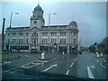
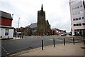
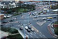
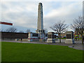
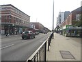
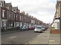
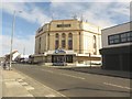
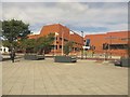
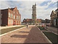
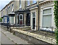
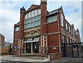
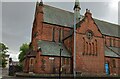
65 photos from this area
Area Information
Key information about the TS26 8QX including its size, population, and administrative classification.
- Area Type
- Postcode
- Area Size
- 4274 m²
- Population
- 1941
- Population Density
- 6987 people/km²
House Prices in TS26 8QX
35
Properties
£33,564
Average Sold Price
£9,000
Lowest Price
£83,333
Highest Price
Showing 35 properties
| Address | Type | Beds | Baths | Last Sale Price | Last Sale Date | |
|---|---|---|---|---|---|---|
| 67 Rodney Street, Hartlepool, TS26 8QX | house | - | - | £30,000 | May 2023 | |
| 1 Rodney Street, Hartlepool, TS26 8QX | house | 2 | - | £50,000 | May 2022 | |
| 71 Rodney Street, Hartlepool, TS26 8QX | Terraced | 2 | 1 | £51,000 | Oct 2020 | |
| 69 Rodney Street, Hartlepool, TS26 8QX | house | - | - | £24,000 | Jul 2020 | |
| 53 Rodney Street, Hartlepool, TS26 8QX | Terraced | 3 | 1 | £26,000 | Jul 2015 | |
| 73 Rodney Street, Hartlepool, TS26 8QX | house | - | - | £83,333 | May 2015 | |
| 21 Rodney Street, Hartlepool, TS26 8QX | Terraced | 3 | 1 | £41,307 | Mar 2015 | |
| 33 Rodney Street, Hartlepool, TS26 8QX | Terraced | 1 | 1 | £42,000 | Nov 2009 | |
| 61 Rodney Street, Hartlepool, TS26 8QX | Terraced | 1 | 1 | £41,500 | Jan 2009 | |
| 57 Rodney Street, Hartlepool, TS26 8QX | Terraced | 3 | 1 | £40,000 | Jul 2007 |
Page 1 of 4
Energy Efficiency in TS26 8QX
Amenities
Schools
| Rank | School | Type | Entry gender | Ages |
|---|
Explore more schools in this area
Go to Schools tabDemographics
Household Size
One person
most common
Accommodation Type
Houses
most common
Tenure
35
majority
Ethnic Group
White
most common
Religion
N/A
most common
Household Composition
N/A
most common
Age
47
median
Adults (30-64 years)
most common
Household Deprivation
N/A
with no deprivation
NS-SEC
13
in Lower managerial occupations
Explore more demographic insights in this area
Go to Demographics tabPlanning
Planning Constraints
- Flood RiskPremium
- Ramsar Wetland SitesPremium
- Area of Outstanding Natural BeautyPremium
- Protected Nature ReservePremium
- Protected WoodlandPremium