Area Overview for TS26 8EU
Photos of TS26 8EU
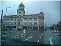
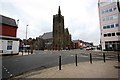
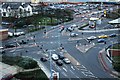
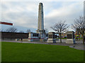
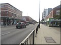
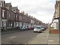
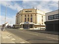
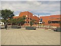
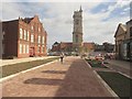
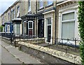
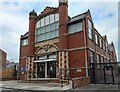
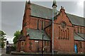
65 photos from this area
Area Information
Key information about the TS26 8EU including its size, population, and administrative classification.
- Area Type
- Postcode
- Area Size
- 2331 m²
- Population
- 1095
- Population Density
- 9910 people/km²
House Prices in TS26 8EU
12
Properties
£93,321
Average Sold Price
£65,000
Lowest Price
£124,950
Highest Price
Showing 12 properties
| Address | Type | Beds | Baths | Last Sale Price | Last Sale Date | |
|---|---|---|---|---|---|---|
| 154 Alma Street, Hartlepool, TS26 8EU | Terraced | 2 | 2 | £95,000 | Oct 2024 | |
| 174 Alma Street, Hartlepool, TS26 8EU | house | - | - | £65,000 | Jan 2024 | |
| 170 Alma Street, Hartlepool, TS26 8EU | Terraced | 2 | 1 | £81,000 | Jul 2023 | |
| 166 Alma Street, Hartlepool, TS26 8EU | Terraced | 3 | 1 | £93,000 | Apr 2023 | |
| 172 Alma Street, Hartlepool, TS26 8EU | house | - | - | £68,000 | May 2021 | |
| 164 Alma Street, Hartlepool, TS26 8EU | Terraced | 3 | 2 | £77,000 | Apr 2021 | |
| 152 Alma Street, Hartlepool, TS26 8EU | house | - | - | £90,000 | Oct 2014 | |
| 168 Alma Street, Hartlepool, TS26 8EU | house | - | - | £92,000 | Mar 2010 | |
| 162 Alma Street, Hartlepool, TS26 8EU | house | - | - | £115,000 | Feb 2010 | |
| 160 Alma Street, Hartlepool, TS26 8EU | house | - | - | £124,950 | Jan 2010 |
Page 1 of 2
Energy Efficiency in TS26 8EU
Amenities
Schools
| Rank | School | Type | Entry gender | Ages |
|---|
Explore more schools in this area
Go to Schools tabDemographics
Household Size
One person
most common
Accommodation Type
Houses
most common
Tenure
54
majority
Ethnic Group
White
most common
Religion
N/A
most common
Household Composition
N/A
most common
Age
47
median
Adults (30-64 years)
most common
Household Deprivation
N/A
with no deprivation
NS-SEC
17
in Lower managerial occupations
Explore more demographic insights in this area
Go to Demographics tabPlanning
Planning Constraints
- Flood RiskPremium
- Ramsar Wetland SitesPremium
- Area of Outstanding Natural BeautyPremium
- Protected Nature ReservePremium
- Protected WoodlandPremium