Area Overview for TS25 5RE
Photos of TS25 5RE
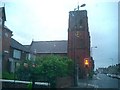
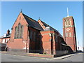
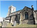
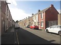
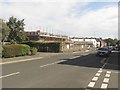
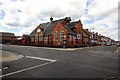
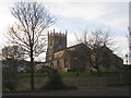
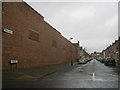
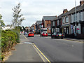
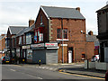
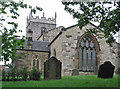
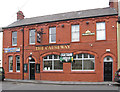
20 photos from this area
Area Information
Key information about the TS25 5RE including its size, population, and administrative classification.
- Area Type
- Postcode
- Area Size
- 3.4 hectares
- Population
- 1033
- Population Density
- 7796 people/km²
House Prices in TS25 5RE
64
Properties
£116,190
Average Sold Price
£36,650
Lowest Price
£400,000
Highest Price
Showing 64 properties
| Address | Type | Beds | Baths | Last Sale Price | Last Sale Date | |
|---|---|---|---|---|---|---|
| 18 Westbourne Road, Hartlepool, TS25 5RE | Semi-detached | 3 | 2 | £150,000 | May 2024 | |
| 41 Westbourne Road, Hartlepool, TS25 5RE | Terraced | 3 | 1 | £80,000 | Feb 2024 | |
| 51 Westbourne Road, Hartlepool, TS25 5RE | Terraced | 2 | 1 | £77,000 | Nov 2023 | |
| 39 Westbourne Road, Hartlepool, TS25 5RE | Terraced | 3 | 1 | £144,000 | May 2023 | |
| 75 Westbourne Road, Hartlepool, TS25 5RE | Detached | 3 | 2 | £90,000 | Feb 2023 | |
| 31 Westbourne Road, Hartlepool, TS25 5RE | house | - | - | £60,000 | Jul 2022 | |
| 46 Westbourne Road, Hartlepool, TS25 5RE | Retail | 4 | 1 | £300,000 | Mar 2022 | |
| 2 Westbourne Road, Hartlepool, TS25 5RE | Semi-detached | 4 | 1 | £168,000 | Jul 2021 | |
| 27 Westbourne Road, Hartlepool, TS25 5RE | Terraced | 3 | 1 | £107,000 | Feb 2021 | |
| 48 Westbourne Road, Hartlepool, TS25 5RE | Bungalow | - | - | £220,000 | Oct 2020 |
Page 1 of 7
Energy Efficiency in TS25 5RE
Amenities
Schools
| Rank | School | Type | Entry gender | Ages |
|---|
Explore more schools in this area
Go to Schools tabDemographics
Household Size
One person
most common
Accommodation Type
Houses
most common
Tenure
46
majority
Ethnic Group
White
most common
Religion
N/A
most common
Household Composition
N/A
most common
Age
47
median
Adults (30-64 years)
most common
Household Deprivation
N/A
with no deprivation
NS-SEC
14
in Lower managerial occupations
Explore more demographic insights in this area
Go to Demographics tabPlanning
Planning Constraints
- Flood RiskPremium
- Ramsar Wetland SitesPremium
- Area of Outstanding Natural BeautyPremium
- Protected Nature ReservePremium
- Protected WoodlandPremium