Area Overview for TS24 9RX
Photos of TS24 9RX
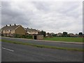
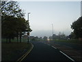
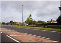
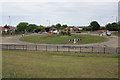
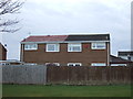
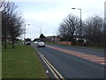
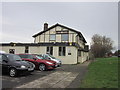
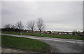
10 photos from this area
Area Information
Key information about the TS24 9RX including its size, population, and administrative classification.
- Area Type
- Postcode
- Area Size
- 1.1 hectares
- Population
- 1344
- Population Density
- 1431 people/km²
House Prices in TS24 9RX
24
Properties
£119,027
Average Sold Price
£53,950
Lowest Price
£190,000
Highest Price
Showing 24 properties
| Address | Type | Beds | Baths | Last Sale Price | Last Sale Date | |
|---|---|---|---|---|---|---|
| 67 Studland Drive, Hartlepool, TS24 9RX | Semi-detached | 3 | - | £148,000 | Nov 2024 | |
| 55 Studland Drive, Hartlepool, TS24 9RX | Semi-detached | 3 | 1 | £190,000 | Aug 2024 | |
| 57 Studland Drive, Hartlepool, TS24 9RX | house | 3 | 1 | £155,000 | Mar 2024 | |
| 30 Studland Drive, Hartlepool, TS24 9RX | house | - | - | £160,000 | Jul 2021 | |
| 34 Studland Drive, Hartlepool, TS24 9RX | Semi-detached | 3 | - | £93,000 | Nov 2015 | |
| 75 Studland Drive, Hartlepool, TS24 9RX | house | - | - | £75,000 | Sep 2015 | |
| 59 Studland Drive, Hartlepool, TS24 9RX | Semi-detached | 2 | 1 | £117,000 | Mar 2015 | |
| 32 Studland Drive, Hartlepool, TS24 9RX | house | - | - | £100,000 | Dec 2013 | |
| 38 Studland Drive, Hartlepool, TS24 9RX | house | - | - | £120,000 | Jul 2013 | |
| 63 Studland Drive, Hartlepool, TS24 9RX | house | 3 | - | £107,000 | Feb 2011 |
Page 1 of 3
Energy Efficiency in TS24 9RX
Amenities
Schools
| Rank | School | Type | Entry gender | Ages |
|---|
Explore more schools in this area
Go to Schools tabDemographics
Household Size
Two person
most common
Accommodation Type
Houses
most common
Tenure
85
majority
Ethnic Group
White
most common
Religion
N/A
most common
Household Composition
N/A
most common
Age
47
median
Adults (30-64 years)
most common
Household Deprivation
N/A
with no deprivation
NS-SEC
26
in Lower managerial occupations
Explore more demographic insights in this area
Go to Demographics tabPlanning
Planning Constraints
- Flood RiskPremium
- Ramsar Wetland SitesPremium
- Area of Outstanding Natural BeautyPremium
- Protected Nature ReservePremium
- Protected WoodlandPremium