Area Overview for TS23 1DE
Photos of TS23 1DE
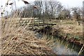
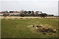
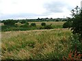
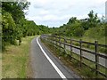
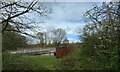
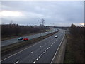
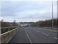
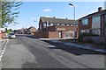

10 photos from this area
Area Information
Key information about the TS23 1DE including its size, population, and administrative classification.
- Area Type
- Postcode
- Area Size
- 1.8 hectares
- Population
- 1264
- Population Density
- 4206 people/km²
House Prices in TS23 1DE
31
Properties
£85,013
Average Sold Price
£20,304
Lowest Price
£125,000
Highest Price
Showing 31 properties
| Address | Type | Beds | Baths | Last Sale Price | Last Sale Date | |
|---|---|---|---|---|---|---|
| 28 New Road, Billingham, TS23 1DE | house | - | - | £70,000 | Mar 2025 | |
| 31 New Road, Billingham, TS23 1DE | Terraced | 3 | 1 | £125,000 | Jul 2024 | |
| 16 New Road, Billingham, TS23 1DE | Terraced | 3 | 1 | £120,000 | Jun 2023 | |
| 22 New Road, Billingham, TS23 1DE | Terraced | 3 | 1 | £100,000 | Oct 2022 | |
| 10 New Road, Billingham, TS23 1DE | Retail | 3 | 2 | £119,950 | May 2022 | |
| 1 New Road, Billingham, TS23 1DE | house | - | - | £100,000 | Jul 2021 | |
| 12 New Road, Billingham, TS23 1DE | Terraced | 3 | - | £91,000 | Apr 2019 | |
| 25 New Road, Billingham, TS23 1DE | Semi-detached | 3 | 1 | £114,000 | Dec 2017 | |
| 27 New Road, Billingham, TS23 1DE | Terraced | - | - | £94,500 | Nov 2016 | |
| 7 New Road, Billingham, TS23 1DE | Terraced | - | - | £113,000 | Oct 2016 |
Page 1 of 4
Energy Efficiency in TS23 1DE
Amenities
Schools
| Rank | School | Type | Entry gender | Ages |
|---|
Explore more schools in this area
Go to Schools tabDemographics
Household Size
One person
most common
Accommodation Type
Houses
most common
Tenure
42
majority
Ethnic Group
White
most common
Religion
N/A
most common
Household Composition
N/A
most common
Age
47
median
Adults (30-64 years)
most common
Household Deprivation
N/A
with no deprivation
NS-SEC
22
in Lower managerial occupations
Explore more demographic insights in this area
Go to Demographics tabPlanning
Planning Constraints
- Flood RiskPremium
- Ramsar Wetland SitesPremium
- Area of Outstanding Natural BeautyPremium
- Protected Nature ReservePremium
- Protected WoodlandPremium