Area Overview for TS22 5DF
Photos of TS22 5DF
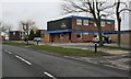
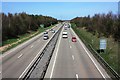
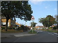
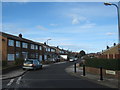
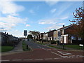
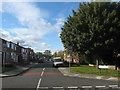
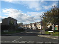
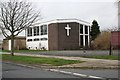
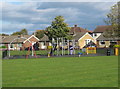
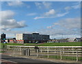

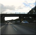
15 photos from this area
Area Information
Key information about the TS22 5DF including its size, population, and administrative classification.
- Area Type
- Postcode
- Area Size
- 9610 m²
- Population
- 1393
- Population Density
- 5663 people/km²
House Prices in TS22 5DF
30
Properties
£134,109
Average Sold Price
£52,000
Lowest Price
£210,000
Highest Price
Showing 30 properties
| Address | Type | Beds | Baths | Last Sale Price | Last Sale Date | |
|---|---|---|---|---|---|---|
| 21 Aston Road, Billingham, TS22 5DF | house | - | - | £110,000 | Sep 2024 | |
| 5 Aston Road, Billingham, TS22 5DF | house | - | - | £208,000 | Aug 2021 | |
| 16 Aston Road, Billingham, TS22 5DF | house | - | - | £210,000 | Jul 2021 | |
| 4 Aston Road, Billingham, TS22 5DF | house | - | - | £145,000 | Mar 2021 | |
| 17 Aston Road, Billingham, TS22 5DF | house | - | - | £178,000 | Apr 2020 | |
| 7 Aston Road, Billingham, TS22 5DF | house | - | - | £133,000 | May 2019 | |
| 12 Aston Road, Billingham, TS22 5DF | Detached | 4 | 2 | £152,500 | Mar 2019 | |
| 23 Aston Road, Billingham, TS22 5DF | house | - | - | £173,500 | Jan 2017 | |
| 15 Aston Road, Billingham, TS22 5DF | house | - | - | £183,000 | Mar 2016 | |
| 14 Aston Road, Billingham, TS22 5DF | house | - | - | £190,000 | Oct 2015 |
Page 1 of 3
Energy Efficiency in TS22 5DF
Amenities
Schools
| Rank | School | Type | Entry gender | Ages |
|---|
Explore more schools in this area
Go to Schools tabDemographics
Household Size
Two person
most common
Accommodation Type
Houses
most common
Tenure
88
majority
Ethnic Group
White
most common
Religion
N/A
most common
Household Composition
N/A
most common
Age
47
median
Adults (30-64 years)
most common
Household Deprivation
N/A
with no deprivation
NS-SEC
32
in Lower managerial occupations
Explore more demographic insights in this area
Go to Demographics tabPlanning
Planning Constraints
- Flood RiskPremium
- Ramsar Wetland SitesPremium
- Area of Outstanding Natural BeautyPremium
- Protected Nature ReservePremium
- Protected WoodlandPremium