Area Overview for TS22 5AT
Photos of TS22 5AT
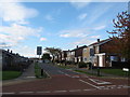
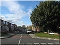
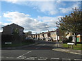
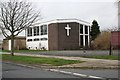
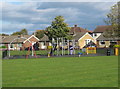
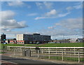
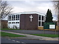
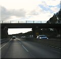
15 photos from this area
Area Information
Key information about the TS22 5AT including its size, population, and administrative classification.
- Area Type
- Postcode
- Area Size
- 1.4 hectares
- Population
- 1317
- Population Density
- 1448 people/km²
House Prices in TS22 5AT
32
Properties
£143,493
Average Sold Price
£56,000
Lowest Price
£215,000
Highest Price
Showing 32 properties
| Address | Type | Beds | Baths | Last Sale Price | Last Sale Date | |
|---|---|---|---|---|---|---|
| 59 Whitehouse Road, Billingham, TS22 5AT | Bungalow | - | - | £160,000 | Feb 2025 | |
| 73 Whitehouse Road, Billingham, TS22 5AT | Semi-detached | 3 | 1 | £175,000 | Jan 2024 | |
| 89 Whitehouse Road, Billingham, TS22 5AT | Retail | 2 | 1 | £175,000 | Sep 2022 | |
| 71 Whitehouse Road, Billingham, TS22 5AT | Bungalow | - | - | £165,000 | Oct 2020 | |
| 105 Whitehouse Road, Billingham, TS22 5AT | house | - | - | £135,000 | Aug 2020 | |
| 69 Whitehouse Road, Billingham, TS22 5AT | Bungalow | - | - | £158,000 | Jun 2020 | |
| 53 Whitehouse Road, Billingham, TS22 5AT | Bungalow | - | - | £168,000 | Mar 2020 | |
| 75 Whitehouse Road, Billingham, TS22 5AT | Bungalow | - | - | £159,950 | Jan 2020 | |
| 49 Whitehouse Road, Billingham, TS22 5AT | Bungalow | 3 | 1 | £215,000 | Jun 2019 | |
| 43 Whitehouse Road, Billingham, TS22 5AT | Bungalow | - | - | £125,000 | Apr 2019 |
Page 1 of 4
Energy Efficiency in TS22 5AT
Amenities
Schools
| Rank | School | Type | Entry gender | Ages |
|---|
Explore more schools in this area
Go to Schools tabDemographics
Household Size
Two person
most common
Accommodation Type
Houses
most common
Tenure
92
majority
Ethnic Group
White
most common
Religion
N/A
most common
Household Composition
N/A
most common
Age
47
median
Elderly (65+ years)
most common
Household Deprivation
N/A
with no deprivation
NS-SEC
35
in Lower managerial occupations
Explore more demographic insights in this area
Go to Demographics tabPlanning
Planning Constraints
- Flood RiskPremium
- Ramsar Wetland SitesPremium
- Area of Outstanding Natural BeautyPremium
- Protected Nature ReservePremium
- Protected WoodlandPremium