Area Overview for TS21 4AH
Photos of TS21 4AH
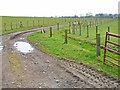
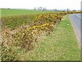
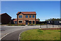
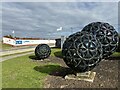
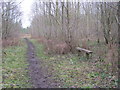
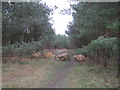
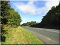
9 photos from this area
Area Information
Key information about the TS21 4AH including its size, population, and administrative classification.
- Area Type
- Postcode
- Area Size
- 27.6 hectares
- Population
- 1182
- Population Density
- 125 people/km²
House Prices in TS21 4AH
17
Properties
£77,245
Average Sold Price
£40,000
Lowest Price
£129,000
Highest Price
Showing 17 properties
| Address | Type | Beds | Baths | Last Sale Price | Last Sale Date | |
|---|---|---|---|---|---|---|
| 10 West Terrace, Fishburn, TS21 4AH | Semi-detached | 2 | 1 | £99,999 | Aug 2023 | |
| 9 West Terrace, Fishburn, TS21 4AH | Semi-detached | 2 | 1 | £53,500 | Jun 2020 | |
| 13 West Terrace, Fishburn, TS21 4AH | house | - | - | £51,950 | Dec 2019 | |
| 14 West Terrace, Fishburn, TS21 4AH | Semi-detached | 2 | - | £72,000 | Sep 2019 | |
| 16 West Terrace, Fishburn, TS21 4AH | house | 2 | - | £120,000 | Aug 2019 | |
| 4 West Terrace, Fishburn, TS21 4AH | Semi-detached | - | - | £75,000 | Aug 2014 | |
| 17 West Terrace, Fishburn, TS21 4AH | Detached | 3 | - | £129,000 | Mar 2007 | |
| 15 West Terrace, Fishburn, TS21 4AH | house | - | - | £61,000 | Jul 2006 | |
| 2 West Terrace, Fishburn, TS21 4AH | Semi-detached | - | - | £70,000 | Oct 2004 | |
| 1 West Terrace, Fishburn, TS21 4AH | Semi-detached | - | - | £40,000 | Aug 1997 |
Page 1 of 2
Energy Efficiency in TS21 4AH
Amenities
Schools
| Rank | School | Type | Entry gender | Ages |
|---|
Explore more schools in this area
Go to Schools tabDemographics
Household Size
Two person
most common
Accommodation Type
Houses
most common
Tenure
70
majority
Ethnic Group
White
most common
Religion
N/A
most common
Household Composition
N/A
most common
Age
47
median
Adults (30-64 years)
most common
Household Deprivation
N/A
with no deprivation
NS-SEC
28
in Lower managerial occupations
Explore more demographic insights in this area
Go to Demographics tabPlanning
Planning Constraints
- Flood RiskPremium
- Ramsar Wetland SitesPremium
- Area of Outstanding Natural BeautyPremium
- Protected Nature ReservePremium
- Protected WoodlandPremium