Area Overview for TS21 3DG
Photos of TS21 3DG
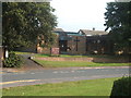
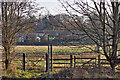
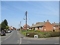
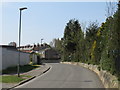
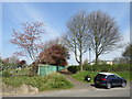
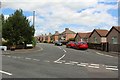
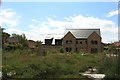

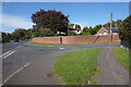
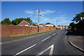
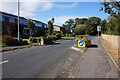
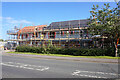
27 photos from this area
Area Information
Key information about the TS21 3DG including its size, population, and administrative classification.
- Area Type
- Postcode
- Area Size
- 8579 m²
- Population
- 1856
- Population Density
- 1895 people/km²
House Prices in TS21 3DG
25
Properties
£137,491
Average Sold Price
£40,000
Lowest Price
£210,000
Highest Price
Showing 25 properties
| Address | Type | Beds | Baths | Last Sale Price | Last Sale Date | |
|---|---|---|---|---|---|---|
| 6 Chestnut Road, Sedgefield, TS21 3DG | Detached | 3 | 1 | £168,500 | Aug 2025 | |
| 17 Chestnut Road, Sedgefield, TS21 3DG | house | - | - | £170,000 | Mar 2024 | |
| 18 Chestnut Road, Sedgefield, TS21 3DG | house | 3 | - | £154,000 | Jan 2024 | |
| 24 Chestnut Road, Sedgefield, TS21 3DG | house | - | - | £163,000 | Mar 2022 | |
| 14 Chestnut Road, Sedgefield, TS21 3DG | house | - | - | £210,000 | Dec 2020 | |
| 5 Chestnut Road, Sedgefield, TS21 3DG | house | - | - | £175,000 | Oct 2020 | |
| 11 Chestnut Road, Sedgefield, TS21 3DG | house | - | - | £124,000 | Dec 2015 | |
| 12 Chestnut Road, Sedgefield, TS21 3DG | house | - | - | £96,000 | Dec 2011 | |
| 16 Chestnut Road, Sedgefield, TS21 3DG | house | - | - | £124,950 | Mar 2010 | |
| 25 Chestnut Road, Sedgefield, TS21 3DG | house | - | - | £86,950 | May 2003 |
Page 1 of 3
Energy Efficiency in TS21 3DG
Amenities
Schools
| Rank | School | Type | Entry gender | Ages |
|---|
Explore more schools in this area
Go to Schools tabDemographics
Household Size
One person
most common
Accommodation Type
Houses
most common
Tenure
66
majority
Ethnic Group
White
most common
Religion
N/A
most common
Household Composition
N/A
most common
Age
47
median
Adults (30-64 years)
most common
Household Deprivation
N/A
with no deprivation
NS-SEC
40
in Lower managerial occupations
Explore more demographic insights in this area
Go to Demographics tabPlanning
Planning Constraints
- Flood RiskPremium
- Ramsar Wetland SitesPremium
- Area of Outstanding Natural BeautyPremium
- Protected Nature ReservePremium
- Protected WoodlandPremium