Area Overview for TS21 2BW
Photos of TS21 2BW
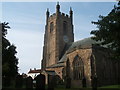
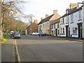
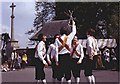
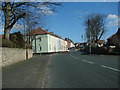
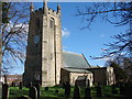
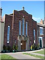
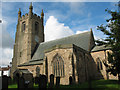
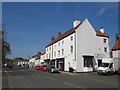
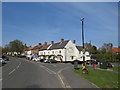
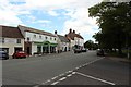
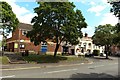
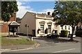
100 photos from this area
Area Information
Key information about the TS21 2BW including its size, population, and administrative classification.
- Area Type
- Postcode
- Area Size
- 1.1 hectares
- Population
- 1856
- Population Density
- 1895 people/km²
House Prices in TS21 2BW
40
Properties
£189,936
Average Sold Price
£79,000
Lowest Price
£540,000
Highest Price
Showing 40 properties
| Address | Type | Beds | Baths | Last Sale Price | Last Sale Date | |
|---|---|---|---|---|---|---|
| 43 West End, Sedgefield, TS21 2BW | Terraced | 2 | 1 | £180,000 | Apr 2025 | |
| 41 West End, Sedgefield, TS21 2BW | house | - | - | £540,000 | Mar 2025 | |
| 19 West End, Sedgefield, TS21 2BW | Terraced | 2 | 1 | £134,950 | Dec 2023 | |
| 45 West End, Sedgefield, TS21 2BW | Retail | 2 | - | £153,000 | Dec 2022 | |
| 53 West End, Sedgefield, TS21 2BW | house | - | - | £150,000 | Nov 2022 | |
| 11 West End, Sedgefield, TS21 2BW | Terraced | 3 | 1 | £273,000 | Mar 2021 | |
| 13 West End, Sedgefield, TS21 2BW | house | - | - | £88,000 | Aug 2020 | |
| 57 West End, Sedgefield, TS21 2BW | house | - | - | £155,000 | Apr 2020 | |
| 49 West End, Sedgefield, TS21 2BW | Terraced | 2 | - | £109,000 | Nov 2019 | |
| 31 West End, Sedgefield, TS21 2BW | house | - | - | £317,500 | Aug 2018 |
Page 1 of 4
Energy Efficiency in TS21 2BW
Amenities
Schools
| Rank | School | Type | Entry gender | Ages |
|---|
Explore more schools in this area
Go to Schools tabDemographics
Household Size
One person
most common
Accommodation Type
Houses
most common
Tenure
66
majority
Ethnic Group
White
most common
Religion
N/A
most common
Household Composition
N/A
most common
Age
47
median
Adults (30-64 years)
most common
Household Deprivation
N/A
with no deprivation
NS-SEC
40
in Lower managerial occupations
Explore more demographic insights in this area
Go to Demographics tabPlanning
Planning Constraints
- Flood RiskPremium
- Ramsar Wetland SitesPremium
- Area of Outstanding Natural BeautyPremium
- Protected Nature ReservePremium
- Protected WoodlandPremium