Area Overview for TS20 1UU
Photos of TS20 1UU
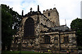
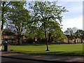
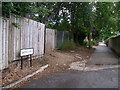
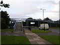
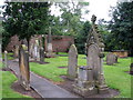
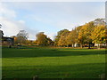
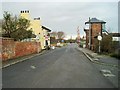
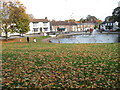
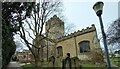
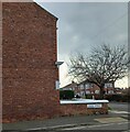
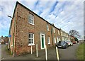
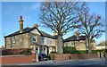
46 photos from this area
Area Information
Key information about the TS20 1UU including its size, population, and administrative classification.
- Area Type
- Postcode
- Area Size
- 4.1 hectares
- Population
- 1777
- Population Density
- 1905 people/km²
House Prices in TS20 1UU
42
Properties
£208,322
Average Sold Price
£73,000
Lowest Price
£388,888
Highest Price
Showing 42 properties
| Address | Type | Beds | Baths | Last Sale Price | Last Sale Date | |
|---|---|---|---|---|---|---|
| 7 Westminster Oval, Norton, TS20 1UU | house | 4 | 2 | £360,000 | Aug 2025 | |
| 45 Westminster Oval, Norton, TS20 1UU | Detached | 4 | 1 | £303,000 | Nov 2024 | |
| 67 Westminster Oval, Norton, TS20 1UU | house | 4 | 1 | £370,000 | Nov 2022 | |
| 75 Westminster Oval, Norton, TS20 1UU | Detached | 4 | - | £246,000 | Oct 2022 | |
| 83 Westminster Oval, Norton, TS20 1UU | Detached | 4 | 3 | £388,888 | Jul 2022 | |
| 39 Westminster Oval, Norton, TS20 1UU | house | - | - | £255,000 | Jun 2020 | |
| 23 Westminster Oval, Norton, TS20 1UU | house | - | - | £285,000 | Oct 2019 | |
| 19 Westminster Oval, Norton, TS20 1UU | Detached | 4 | 2 | £245,000 | Jul 2019 | |
| 21 Westminster Oval, Norton, TS20 1UU | Detached | 4 | 2 | £239,000 | Feb 2019 | |
| 31 Westminster Oval, Norton, TS20 1UU | house | - | - | £243,500 | Jul 2018 |
Page 1 of 5
Energy Efficiency in TS20 1UU
Amenities
Schools
| Rank | School | Type | Entry gender | Ages |
|---|
Explore more schools in this area
Go to Schools tabDemographics
Household Size
Two person
most common
Accommodation Type
Houses
most common
Tenure
88
majority
Ethnic Group
White
most common
Religion
N/A
most common
Household Composition
N/A
most common
Age
47
median
Adults (30-64 years)
most common
Household Deprivation
N/A
with no deprivation
NS-SEC
47
in Lower managerial occupations
Explore more demographic insights in this area
Go to Demographics tabPlanning
Planning Constraints
- Flood RiskPremium
- Ramsar Wetland SitesPremium
- Area of Outstanding Natural BeautyPremium
- Protected Nature ReservePremium
- Protected WoodlandPremium