Area Overview for TS20 1AX
Photos of TS20 1AX
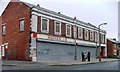
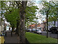
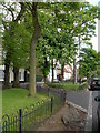
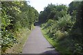
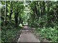
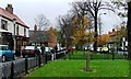
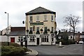
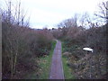

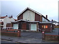
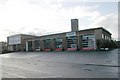
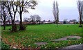
24 photos from this area
Area Information
Key information about the TS20 1AX including its size, population, and administrative classification.
- Area Type
- Postcode
- Area Size
- 1.2 hectares
- Population
- 1557
- Population Density
- 5617 people/km²
House Prices in TS20 1AX
32
Properties
£57,363
Average Sold Price
£13,630
Lowest Price
£85,000
Highest Price
Showing 32 properties
| Address | Type | Beds | Baths | Last Sale Price | Last Sale Date | |
|---|---|---|---|---|---|---|
| 30 Skerne Road, Norton, TS20 1AX | Semi-detached | 3 | 1 | £75,000 | Oct 2021 | |
| 21 Skerne Road, Norton, TS20 1AX | Terraced | 2 | 1 | £54,000 | Feb 2020 | |
| 27 Skerne Road, Norton, TS20 1AX | house | - | - | £85,000 | Nov 2018 | |
| 16 Skerne Road, Norton, TS20 1AX | house | - | - | £62,500 | Aug 2014 | |
| 26 Skerne Road, Norton, TS20 1AX | house | - | - | £59,000 | Jul 2011 | |
| 6 Skerne Road, Norton, TS20 1AX | Semi-detached | - | - | £82,500 | Dec 2006 | |
| 23 Skerne Road, Norton, TS20 1AX | house | - | - | £63,500 | Nov 2003 | |
| 22 Skerne Road, Norton, TS20 1AX | Semi-detached | - | - | £39,500 | Mar 2003 | |
| 31 Skerne Road, Norton, TS20 1AX | Semi-detached | - | - | £39,000 | Feb 2003 | |
| 1 Skerne Road, Norton, TS20 1AX | Detached | 3 | 1 | £13,630 | Jan 2002 |
Page 1 of 4
Energy Efficiency in TS20 1AX
Amenities
Schools
| Rank | School | Type | Entry gender | Ages |
|---|
Explore more schools in this area
Go to Schools tabDemographics
Household Size
One person
most common
Accommodation Type
Houses
most common
Tenure
22
majority
Ethnic Group
White
most common
Religion
N/A
most common
Household Composition
N/A
most common
Age
47
median
Adults (30-64 years)
most common
Household Deprivation
N/A
with no deprivation
NS-SEC
12
in Lower managerial occupations
Explore more demographic insights in this area
Go to Demographics tabPlanning
Planning Constraints
- Flood RiskPremium
- Ramsar Wetland SitesPremium
- Area of Outstanding Natural BeautyPremium
- Protected Nature ReservePremium
- Protected WoodlandPremium