Area Overview for TS19 9HP
Photos of TS19 9HP
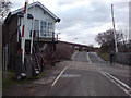
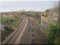
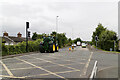
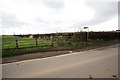
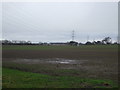
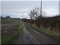
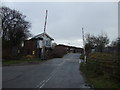
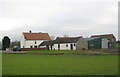

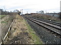
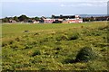
11 photos from this area
Area Information
Key information about the TS19 9HP including its size, population, and administrative classification.
- Area Type
- Postcode
- Area Size
- 2.4 hectares
- Population
- 1519
- Population Density
- 6356 people/km²
House Prices in TS19 9HP
52
Properties
£69,643
Average Sold Price
£21,196
Lowest Price
£125,000
Highest Price
Showing 52 properties
| Address | Type | Beds | Baths | Last Sale Price | Last Sale Date | |
|---|---|---|---|---|---|---|
| 36 Roseneath Avenue, Stockton On Tees, TS19 9HP | Terraced | 3 | 1 | £97,000 | May 2025 | |
| 11 Roseneath Avenue, Stockton On Tees, TS19 9HP | Detached | 2 | 1 | £110,500 | May 2025 | |
| 64 Roseneath Avenue, Stockton On Tees, TS19 9HP | house | 3 | 1 | £125,000 | Oct 2022 | |
| 56 Roseneath Avenue, Stockton On Tees, TS19 9HP | house | - | - | £95,000 | Dec 2021 | |
| 34 Roseneath Avenue, Stockton On Tees, TS19 9HP | house | 3 | 1 | £85,950 | Oct 2021 | |
| 42 Roseneath Avenue, Stockton On Tees, TS19 9HP | house | 3 | - | £75,000 | Nov 2020 | |
| 38 Roseneath Avenue, Stockton On Tees, TS19 9HP | house | 2 | 1 | £61,000 | Aug 2020 | |
| 1 Roseneath Avenue, Stockton On Tees, TS19 9HP | Semi-detached | 2 | 1 | £77,500 | Jun 2020 | |
| 46 Roseneath Avenue, Stockton On Tees, TS19 9HP | Semi-detached | 2 | 1 | £52,250 | Feb 2020 | |
| 37 Roseneath Avenue, Stockton On Tees, TS19 9HP | Detached | 2 | 1 | £84,000 | Jul 2018 |
Page 1 of 6
Energy Efficiency in TS19 9HP
Amenities
Schools
| Rank | School | Type | Entry gender | Ages |
|---|
Explore more schools in this area
Go to Schools tabDemographics
Household Size
Family (3-5 people)
most common
Accommodation Type
Houses
most common
Tenure
35
majority
Ethnic Group
White
most common
Religion
N/A
most common
Household Composition
N/A
most common
Age
47
median
Adults (30-64 years)
most common
Household Deprivation
N/A
with no deprivation
NS-SEC
12
in Lower managerial occupations
Explore more demographic insights in this area
Go to Demographics tabPlanning
Planning Constraints
- Flood RiskPremium
- Ramsar Wetland SitesPremium
- Area of Outstanding Natural BeautyPremium
- Protected Nature ReservePremium
- Protected WoodlandPremium