Area Overview for TS18 4LF
Photos of TS18 4LF
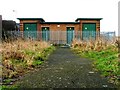
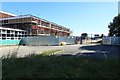
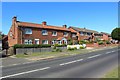
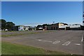
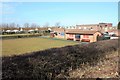
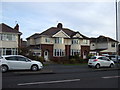
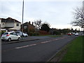
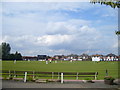
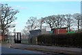
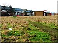
10 photos from this area
Area Information
Key information about the TS18 4LF including its size, population, and administrative classification.
- Area Type
- Postcode
- Area Size
- 2465 m²
- Population
- 1765
- Population Density
- 3375 people/km²
House Prices in TS18 4LF
5
Properties
£201,600
Average Sold Price
£150,000
Lowest Price
£295,000
Highest Price
Showing 5 properties
| Address | Type | Beds | Baths | Last Sale Price | Last Sale Date | |
|---|---|---|---|---|---|---|
| 54 Oxbridge Avenue, Stockton On Tees, TS18 4LF | Detached | 3 | 1 | £295,000 | Dec 2024 | |
| 60 Oxbridge Avenue, Stockton On Tees, TS18 4LF | house | 3 | 1 | £150,000 | Apr 2024 | |
| 56 Oxbridge Avenue, Stockton On Tees, TS18 4LF | Semi-detached | 4 | 2 | £210,000 | Jul 2021 | |
| 58 Oxbridge Avenue, Stockton On Tees, TS18 4LF | Semi-detached | 4 | 2 | £170,000 | Jul 2021 | |
| 62 Oxbridge Avenue, Stockton On Tees, TS18 4LF | Semi-detached | 3 | 1 | £183,000 | Nov 2020 |
Energy Efficiency in TS18 4LF
Amenities
Schools
| Rank | School | Type | Entry gender | Ages |
|---|
Explore more schools in this area
Go to Schools tabDemographics
Household Size
Family (3-5 people)
most common
Accommodation Type
Houses
most common
Tenure
82
majority
Ethnic Group
White
most common
Religion
N/A
most common
Household Composition
N/A
most common
Age
47
median
Adults (30-64 years)
most common
Household Deprivation
N/A
with no deprivation
NS-SEC
33
in Lower managerial occupations
Explore more demographic insights in this area
Go to Demographics tabPlanning
Planning Constraints
- Flood RiskPremium
- Ramsar Wetland SitesPremium
- Area of Outstanding Natural BeautyPremium
- Protected Nature ReservePremium
- Protected WoodlandPremium