Area Overview for TS18 1PH
Photos of TS18 1PH
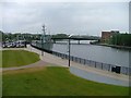
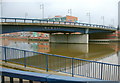
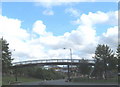
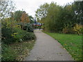
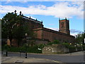
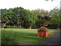
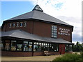
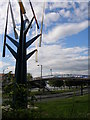
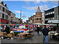
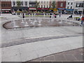
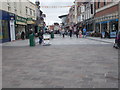
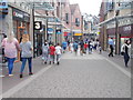
93 photos from this area
Area Information
Key information about the TS18 1PH including its size, population, and administrative classification.
- Area Type
- Postcode
- Area Size
- 7897 m²
- Population
- 1728
- Population Density
- 5244 people/km²
House Prices in TS18 1PH
39
Properties
£65,401
Average Sold Price
£16,560
Lowest Price
£105,000
Highest Price
Showing 39 properties
| Address | Type | Beds | Baths | Last Sale Price | Last Sale Date | |
|---|---|---|---|---|---|---|
| 36 Milbank Court, Stockton On Tees, TS18 1PH | house | - | - | £82,500 | Aug 2025 | |
| 30 Milbank Court, Stockton On Tees, TS18 1PH | Terraced | 3 | 2 | £105,000 | Apr 2025 | |
| 32 Milbank Court, Stockton On Tees, TS18 1PH | Terraced | 3 | 1 | £93,500 | Feb 2024 | |
| 4 Milbank Court, Stockton On Tees, TS18 1PH | house | 3 | - | £58,000 | Apr 2020 | |
| 27 Milbank Court, Stockton On Tees, TS18 1PH | Flat | 1 | - | £46,500 | Oct 2017 | |
| 31 Milbank Court, Stockton On Tees, TS18 1PH | Terraced | 3 | - | £82,000 | Aug 2014 | |
| 7 Milbank Court, Stockton On Tees, TS18 1PH | house | - | - | £89,950 | Nov 2010 | |
| 6 Milbank Court, Stockton On Tees, TS18 1PH | Terraced | - | - | £60,000 | Sep 2005 | |
| 23 Milbank Court, Stockton On Tees, TS18 1PH | Flat | - | - | £20,000 | Nov 2001 | |
| 1 Milbank Court, Stockton On Tees, TS18 1PH | Terraced | - | - | £16,560 | Feb 1997 |
Page 1 of 4
Energy Efficiency in TS18 1PH
Amenities
Schools
| Rank | School | Type | Entry gender | Ages |
|---|
Explore more schools in this area
Go to Schools tabDemographics
Household Size
One person
most common
Accommodation Type
Houses
most common
Tenure
25
majority
Ethnic Group
White
most common
Religion
N/A
most common
Household Composition
N/A
most common
Age
47
median
Adults (30-64 years)
most common
Household Deprivation
N/A
with no deprivation
NS-SEC
10
in Lower managerial occupations
Explore more demographic insights in this area
Go to Demographics tabPlanning
Planning Constraints
- Flood RiskPremium
- Ramsar Wetland SitesPremium
- Area of Outstanding Natural BeautyPremium
- Protected Nature ReservePremium
- Protected WoodlandPremium