Area Overview for TS17 0LE
Photos of TS17 0LE
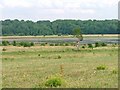
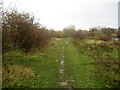
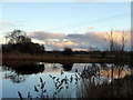
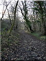
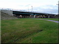
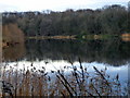
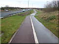
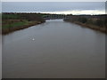
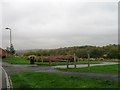
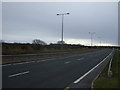
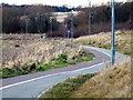
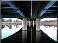
12 photos from this area
Area Information
Key information about the TS17 0LE including its size, population, and administrative classification.
- Area Type
- Postcode
- Area Size
- 3.6 hectares
- Population
- 1246
- Population Density
- 2107 people/km²
House Prices in TS17 0LE
46
Properties
£120,603
Average Sold Price
£48,000
Lowest Price
£199,999
Highest Price
Showing 46 properties
| Address | Type | Beds | Baths | Last Sale Price | Last Sale Date | |
|---|---|---|---|---|---|---|
| 29 Barkston Avenue, Thornaby, TS17 0LE | house | - | - | £155,000 | Mar 2024 | |
| 11 Barkston Avenue, Thornaby, TS17 0LE | house | - | - | £138,000 | Jul 2021 | |
| 32 Barkston Avenue, Thornaby, TS17 0LE | Semi-detached | 5 | 2 | £199,999 | Apr 2021 | |
| 20 Barkston Avenue, Thornaby, TS17 0LE | house | - | - | £156,000 | Sep 2020 | |
| 55 Barkston Avenue, Thornaby, TS17 0LE | house | - | - | £118,000 | Aug 2020 | |
| 1 Barkston Avenue, Thornaby, TS17 0LE | house | - | - | £185,000 | Jan 2020 | |
| 51 Barkston Avenue, Thornaby, TS17 0LE | house | - | - | £139,995 | Sep 2017 | |
| 9 Barkston Avenue, Thornaby, TS17 0LE | house | - | - | £124,000 | Aug 2017 | |
| 6 Barkston Avenue, Thornaby, TS17 0LE | Semi-detached | 4 | - | £140,000 | Sep 2016 | |
| 41 Barkston Avenue, Thornaby, TS17 0LE | Bungalow | 2 | - | £103,000 | Jul 2015 |
Page 1 of 5
Energy Efficiency in TS17 0LE
Amenities
Schools
| Rank | School | Type | Entry gender | Ages |
|---|
Explore more schools in this area
Go to Schools tabDemographics
Household Size
One person
most common
Accommodation Type
Houses
most common
Tenure
66
majority
Ethnic Group
White
most common
Religion
N/A
most common
Household Composition
N/A
most common
Age
47
median
Adults (30-64 years)
most common
Household Deprivation
N/A
with no deprivation
NS-SEC
25
in Lower managerial occupations
Explore more demographic insights in this area
Go to Demographics tabPlanning
Planning Constraints
- Flood RiskPremium
- Ramsar Wetland SitesPremium
- Area of Outstanding Natural BeautyPremium
- Protected Nature ReservePremium
- Protected WoodlandPremium