Area Overview for TS13 4UX
Photos of TS13 4UX
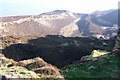
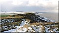
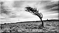
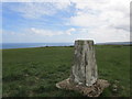

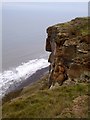
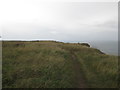
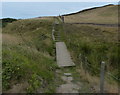
33 photos from this area
Area Information
Key information about the TS13 4UX including its size, population, and administrative classification.
- Area Type
- Postcode
- Area Size
- 55.8 hectares
- Population
- 1357
- Population Density
- 100 people/km²
House Prices in TS13 4UX
15
Properties
£281,889
Average Sold Price
£110,000
Lowest Price
£630,000
Highest Price
Showing 15 properties
| Address | Type | Beds | Baths | Last Sale Price | Last Sale Date | |
|---|---|---|---|---|---|---|
| The Dairy, Upton Hill, Loftus, TS13 4UX | Bungalow | 2 | 1 | £320,000 | Jan 2025 | |
| Alum Cottage, Upton Hill, Loftus, TS13 4UX | Semi-detached | - | - | £630,000 | Oct 2024 | |
| 1 Upton Cottages Lane, Loftus, TS13 4UX | Terraced | 2 | 1 | £150,000 | Jul 2021 | |
| 5 Upton Cottages Lane, Loftus, TS13 4UX | house | - | - | £130,000 | Nov 2020 | |
| The Wagon House, Upton Hill, Loftus, TS13 4UX | house | 3 | 3 | £380,000 | Aug 2019 | |
| Field House, Upton Hill, Loftus, TS13 4UX | Semi-detached | 4 | - | £447,000 | Mar 2015 | |
| 4 Upton Cottages Lane, Loftus, TS13 4UX | Cottage | 2 | - | £110,000 | Jul 2013 | |
| 7 Upton Cottages Lane, Loftus, TS13 4UX | house | - | - | £220,000 | Jul 2013 | |
| The Chapel, Upton Hill, Loftus, TS13 4UX | Detached | 3 | 2 | £150,000 | Apr 2011 | |
| Street House Farm, Upton Hill, Loftus, TS13 4UX | Semi-detached | - | - | - | - |
Page 1 of 2
Energy Efficiency in TS13 4UX
Amenities
Schools
| Rank | School | Type | Entry gender | Ages |
|---|
Explore more schools in this area
Go to Schools tabDemographics
Household Size
Two person
most common
Accommodation Type
Houses
most common
Tenure
59
majority
Ethnic Group
White
most common
Religion
N/A
most common
Household Composition
N/A
most common
Age
47
median
Adults (30-64 years)
most common
Household Deprivation
N/A
with no deprivation
NS-SEC
20
in Lower managerial occupations
Explore more demographic insights in this area
Go to Demographics tabPlanning
Planning Constraints
- Flood RiskPremium
- Ramsar Wetland SitesPremium
- Area of Outstanding Natural BeautyPremium
- Protected Nature ReservePremium
- Protected WoodlandPremium