Area Overview for TS12 3EX
Photos of TS12 3EX
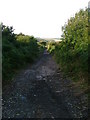
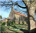
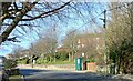
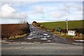
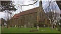
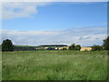
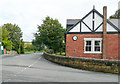
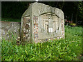

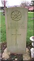
11 photos from this area
Area Information
Key information about the TS12 3EX including its size, population, and administrative classification.
- Area Type
- Postcode
- Area Size
- 1.7 hectares
- Population
- 1861
- Population Density
- 60 people/km²
House Prices in TS12 3EX
14
Properties
£64,500
Average Sold Price
£45,000
Lowest Price
£84,000
Highest Price
Showing 14 properties
| Address | Type | Beds | Baths | Last Sale Price | Last Sale Date | |
|---|---|---|---|---|---|---|
| 67 High Street, Lingdale, TS12 3EX | Bungalow | - | - | £84,000 | Oct 2012 | |
| 101 High Street, Lingdale, TS12 3EX | Detached | - | - | £45,000 | Jul 2000 | |
| 75 High Street, Lingdale, TS12 3EX | Semi-detached | 4 | - | - | - | |
| Adjacent Club, High Street, Lingdale, TS12 3EX | Detached | - | - | - | - | |
| Dalehead, High Street, Lingdale, TS12 3EX | Bungalow | - | - | - | - | |
| The Headlands, High Street, Lingdale, TS12 3EX | hospital_care_home | - | - | - | - | |
| Fairways, High Street, Lingdale, TS12 3EX | Detached | - | - | - | - | |
| First Floor, Crane House, High Street, Lingdale, TS12 3EX | Office | - | - | - | - | |
| Oddsocks, Crane House, High Street, Lingdale, TS12 3EX | Office | - | - | - | - | |
| 77 High Street, Lingdale, TS12 3EX | Semi-detached | - | - | - | - |
Page 1 of 2
Energy Efficiency in TS12 3EX
Amenities
Schools
| Rank | School | Type | Entry gender | Ages |
|---|
Explore more schools in this area
Go to Schools tabDemographics
Household Size
Two person
most common
Accommodation Type
Houses
most common
Tenure
57
majority
Ethnic Group
White
most common
Religion
N/A
most common
Household Composition
N/A
most common
Age
47
median
Adults (30-64 years)
most common
Household Deprivation
N/A
with no deprivation
NS-SEC
21
in Lower managerial occupations
Explore more demographic insights in this area
Go to Demographics tabPlanning
Planning Constraints
- Flood RiskPremium
- Ramsar Wetland SitesPremium
- Area of Outstanding Natural BeautyPremium
- Protected Nature ReservePremium
- Protected WoodlandPremium