Area Overview for TS12 3DU
Photos of TS12 3DU
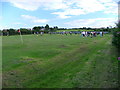
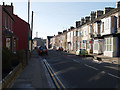
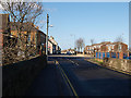
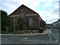
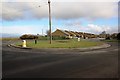
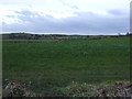
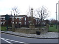
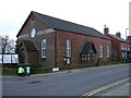
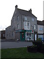
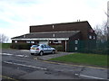
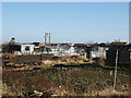
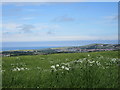
15 photos from this area
Area Information
Key information about the TS12 3DU including its size, population, and administrative classification.
- Area Type
- Postcode
- Area Size
- 13.4 hectares
- Population
- 1861
- Population Density
- 60 people/km²
House Prices in TS12 3DU
31
Properties
£72,540
Average Sold Price
£33,500
Lowest Price
£117,000
Highest Price
Showing 31 properties
| Address | Type | Beds | Baths | Last Sale Price | Last Sale Date | |
|---|---|---|---|---|---|---|
| 46 Davison Street, Lingdale, TS12 3DU | Bungalow | 2 | 1 | £81,000 | Sep 2020 | |
| 32 Davison Street, Lingdale, TS12 3DU | Semi-detached | 3 | 1 | £89,950 | Aug 2019 | |
| 27 Davison Street, Lingdale, TS12 3DU | Terraced | 2 | 1 | £69,492 | Mar 2019 | |
| 28 Davison Street, Lingdale, TS12 3DU | Terraced | 3 | 1 | £65,000 | Nov 2018 | |
| 58 Davison Street, Lingdale, TS12 3DU | Semi-detached | 4 | 1 | £93,000 | Dec 2017 | |
| 56 Davison Street, Lingdale, TS12 3DU | Semi-detached | 3 | 2 | £65,000 | Mar 2016 | |
| 29 Davison Street, Lingdale, TS12 3DU | Terraced | 2 | 1 | £50,000 | May 2011 | |
| 48 Davison Street, Lingdale, TS12 3DU | Bungalow | - | - | £100,000 | Aug 2010 | |
| 60 Davison Street, Lingdale, TS12 3DU | Semi-detached | 3 | - | £117,000 | Oct 2005 | |
| 9 Davison Street, Lingdale, TS12 3DU | Terraced | - | - | £33,500 | Jan 2002 |
Page 1 of 4
Energy Efficiency in TS12 3DU
Amenities
Schools
| Rank | School | Type | Entry gender | Ages |
|---|
Explore more schools in this area
Go to Schools tabDemographics
Household Size
Two person
most common
Accommodation Type
Houses
most common
Tenure
57
majority
Ethnic Group
White
most common
Religion
N/A
most common
Household Composition
N/A
most common
Age
47
median
Adults (30-64 years)
most common
Household Deprivation
N/A
with no deprivation
NS-SEC
21
in Lower managerial occupations
Explore more demographic insights in this area
Go to Demographics tabPlanning
Planning Constraints
- Flood RiskPremium
- Ramsar Wetland SitesPremium
- Area of Outstanding Natural BeautyPremium
- Protected Nature ReservePremium
- Protected WoodlandPremium