Area Overview for TS12 2SD
Photos of TS12 2SD
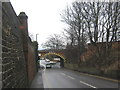
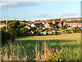
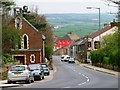
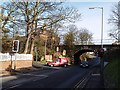
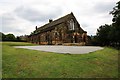
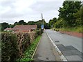

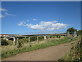
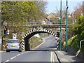
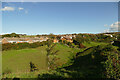
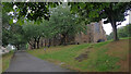
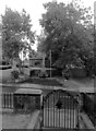
35 photos from this area
Area Information
Key information about the TS12 2SD including its size, population, and administrative classification.
- Area Type
- Postcode
- Area Size
- 1.3 hectares
- Population
- 1497
- Population Density
- 2856 people/km²
House Prices in TS12 2SD
33
Properties
£88,313
Average Sold Price
£37,000
Lowest Price
£130,500
Highest Price
Showing 33 properties
| Address | Type | Beds | Baths | Last Sale Price | Last Sale Date | |
|---|---|---|---|---|---|---|
| 20 Maple Grove, Brotton, TS12 2SD | house | - | - | £104,000 | May 2022 | |
| 22 Maple Grove, Brotton, TS12 2SD | house | - | - | £70,000 | May 2020 | |
| 32 Maple Grove, Brotton, TS12 2SD | Semi-detached | 3 | 1 | £85,000 | Feb 2018 | |
| 16 Maple Grove, Brotton, TS12 2SD | Detached | - | - | £108,000 | Jul 2017 | |
| 19 Maple Grove, Brotton, TS12 2SD | Semi-detached | - | - | £65,000 | Sep 2014 | |
| 14 Maple Grove, Brotton, TS12 2SD | Semi-detached | 4 | 1 | £130,500 | Nov 2007 | |
| 17 Maple Grove, Brotton, TS12 2SD | Semi-detached | - | - | £107,000 | Jan 2006 | |
| 28 Maple Grove, Brotton, TS12 2SD | Terraced | - | - | £37,000 | Aug 1999 | |
| The Brig, 16A Maple Grove, Brotton, TS12 2SD | Detached | - | - | - | - | |
| 9 Maple Grove, Brotton, TS12 2SD | house | - | - | - | - |
Page 1 of 4
Energy Efficiency in TS12 2SD
Amenities
Schools
| Rank | School | Type | Entry gender | Ages |
|---|
Explore more schools in this area
Go to Schools tabDemographics
Household Size
One person
most common
Accommodation Type
Houses
most common
Tenure
44
majority
Ethnic Group
White
most common
Religion
N/A
most common
Household Composition
N/A
most common
Age
47
median
Adults (30-64 years)
most common
Household Deprivation
N/A
with no deprivation
NS-SEC
14
in Lower managerial occupations
Explore more demographic insights in this area
Go to Demographics tabPlanning
Planning Constraints
- Flood RiskPremium
- Ramsar Wetland SitesPremium
- Area of Outstanding Natural BeautyPremium
- Protected Nature ReservePremium
- Protected WoodlandPremium