Area Overview for TS10 3AZ
Photos of TS10 3AZ
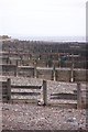
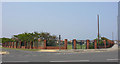
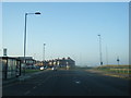
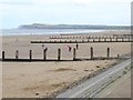
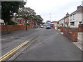
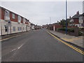
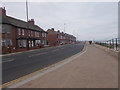
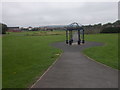
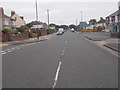
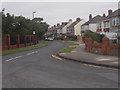
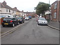
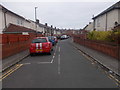
81 photos from this area
Area Information
Key information about the TS10 3AZ including its size, population, and administrative classification.
- Area Type
- Postcode
- Area Size
- 17.4 hectares
- Population
- 1597
- Population Density
- 3137 people/km²
House Prices in TS10 3AZ
27
Properties
£106,478
Average Sold Price
£34,000
Lowest Price
£195,000
Highest Price
Showing 27 properties
| Address | Type | Beds | Baths | Last Sale Price | Last Sale Date | |
|---|---|---|---|---|---|---|
| 53 Lilac Grove, Redcar, TS10 3AZ | house | - | - | £120,000 | Jan 2023 | |
| 39 Lilac Grove, Redcar, TS10 3AZ | Bungalow | - | - | £170,000 | Sep 2022 | |
| 25 Lilac Grove, Redcar, TS10 3AZ | Bungalow | - | - | £105,000 | Apr 2022 | |
| 3 Lilac Grove, Redcar, TS10 3AZ | house | - | - | £195,000 | Dec 2021 | |
| 27 Lilac Grove, Redcar, TS10 3AZ | Bungalow | - | - | £123,000 | Apr 2021 | |
| 29 Lilac Grove, Redcar, TS10 3AZ | Bungalow | 2 | 1 | £119,000 | Nov 2020 | |
| 41 Lilac Grove, Redcar, TS10 3AZ | Bungalow | - | - | £91,000 | Apr 2018 | |
| 21 Lilac Grove, Redcar, TS10 3AZ | Bungalow | - | - | £108,000 | Feb 2017 | |
| 11 Lilac Grove, Redcar, TS10 3AZ | Semi-detached | 3 | 2 | £142,000 | Dec 2014 | |
| 43 Lilac Grove, Redcar, TS10 3AZ | Bungalow | - | - | £75,000 | Sep 2014 |
Page 1 of 3
Energy Efficiency in TS10 3AZ
Amenities
Schools
| Rank | School | Type | Entry gender | Ages |
|---|
Explore more schools in this area
Go to Schools tabDemographics
Household Size
Two person
most common
Accommodation Type
Houses
most common
Tenure
82
majority
Ethnic Group
White
most common
Religion
N/A
most common
Household Composition
N/A
most common
Age
47
median
Adults (30-64 years)
most common
Household Deprivation
N/A
with no deprivation
NS-SEC
34
in Lower managerial occupations
Explore more demographic insights in this area
Go to Demographics tabPlanning
Planning Constraints
- Flood RiskPremium
- Ramsar Wetland SitesPremium
- Area of Outstanding Natural BeautyPremium
- Protected Nature ReservePremium
- Protected WoodlandPremium