Area Overview for TD15 2DW
Photos of TD15 2DW
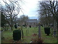
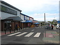
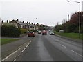
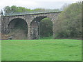

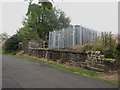
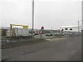
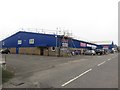
100 photos from this area
Area Information
Key information about the TD15 2DW including its size, population, and administrative classification.
- Area Type
- Postcode
- Area Size
- 1.6 hectares
- Population
- 1443
- Population Density
- 92446 people/km²
House Prices in TD15 2DW
36
Properties
£98,554
Average Sold Price
£16,000
Lowest Price
£177,250
Highest Price
Showing 36 properties
| Address | Type | Beds | Baths | Last Sale Price | Last Sale Date | |
|---|---|---|---|---|---|---|
| 21 Farne Road, Spittal, TD15 2DW | Semi-detached | 3 | 1 | £177,250 | Feb 2025 | |
| 25 Farne Road, Spittal, TD15 2DW | Semi-detached | 2 | 1 | £129,000 | Oct 2024 | |
| 10 Farne Road, Spittal, TD15 2DW | Semi-detached | 3 | 1 | £135,000 | Jul 2024 | |
| 19 Farne Road, Spittal, TD15 2DW | Semi-detached | 2 | 2 | £135,000 | Nov 2020 | |
| 37 Farne Road, Spittal, TD15 2DW | house | 3 | - | £96,500 | Oct 2020 | |
| 5 Farne Road, Spittal, TD15 2DW | house | - | - | £120,000 | Aug 2018 | |
| 14 Farne Road, Spittal, TD15 2DW | Semi-detached | 3 | 1 | £113,500 | Jun 2018 | |
| 28 Farne Road, Spittal, TD15 2DW | Semi-detached | 3 | 1 | £117,000 | Jan 2017 | |
| 15 Farne Road, Spittal, TD15 2DW | house | - | - | £26,000 | Mar 2013 | |
| 1 Farne Road, Spittal, TD15 2DW | house | - | - | £85,500 | Jul 2010 |
Page 1 of 4
Energy Efficiency in TD15 2DW
Amenities
Schools
| Rank | School | Type | Entry gender | Ages |
|---|
Explore more schools in this area
Go to Schools tabDemographics
Household Size
N/A
most common
Accommodation Type
N/A
most common
Tenure
N/A
majority
Ethnic Group
N/A
most common
Religion
N/A
most common
Household Composition
N/A
most common
Age
N/A
median
N/A
most common
Household Deprivation
N/A
with no deprivation
NS-SEC
N/A
in Lower managerial occupations
Explore more demographic insights in this area
Go to Demographics tabPlanning
Planning Constraints
- Flood RiskPremium
- Ramsar Wetland SitesPremium
- Area of Outstanding Natural BeautyPremium
- Protected Nature ReservePremium
- Protected WoodlandPremium