Area Overview for SR8 5ND
Photos of SR8 5ND

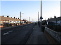
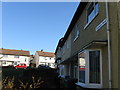
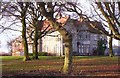
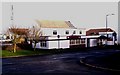
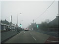
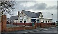
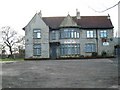
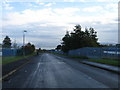
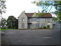
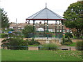
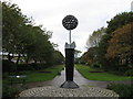
20 photos from this area
Area Information
Key information about the SR8 5ND including its size, population, and administrative classification.
- Area Type
- Postcode
- Area Size
- 5.4 hectares
- Population
- 1398
- Population Density
- 2380 people/km²
House Prices in SR8 5ND
29
Properties
£66,646
Average Sold Price
£28,000
Lowest Price
£120,000
Highest Price
Showing 29 properties
| Address | Type | Beds | Baths | Last Sale Price | Last Sale Date | |
|---|---|---|---|---|---|---|
| 81 Eden Lane, Peterlee, SR8 5ND | Semi-detached | 4 | 1 | £53,000 | Aug 2024 | |
| 77 Eden Lane, Peterlee, SR8 5ND | Semi-detached | 3 | 1 | £88,000 | Sep 2022 | |
| 101 Eden Lane, Peterlee, SR8 5ND | house | - | - | £61,000 | Jul 2021 | |
| 53 Eden Lane, Peterlee, SR8 5ND | Semi-detached | 2 | 1 | £43,000 | Nov 2020 | |
| 85 Eden Lane, Peterlee, SR8 5ND | Semi-detached | 3 | 3 | £120,000 | Oct 2018 | |
| 61 Eden Lane, Peterlee, SR8 5ND | house | 2 | - | £42,000 | Jun 2012 | |
| 55 Eden Lane, Peterlee, SR8 5ND | Semi-detached | 2 | 1 | £79,950 | Aug 2007 | |
| 79 Eden Lane, Peterlee, SR8 5ND | Semi-detached | 3 | - | £76,000 | Aug 2006 | |
| 99 Eden Lane, Peterlee, SR8 5ND | Semi-detached | - | - | £64,000 | Aug 2006 | |
| 49 Eden Lane, Peterlee, SR8 5ND | Semi-detached | - | - | £85,000 | Sep 2005 |
Page 1 of 3
Energy Efficiency in SR8 5ND
Amenities
Schools
| Rank | School | Type | Entry gender | Ages |
|---|
Explore more schools in this area
Go to Schools tabDemographics
Household Size
One person
most common
Accommodation Type
Houses
most common
Tenure
37
majority
Ethnic Group
White
most common
Religion
N/A
most common
Household Composition
N/A
most common
Age
47
median
Adults (30-64 years)
most common
Household Deprivation
N/A
with no deprivation
NS-SEC
13
in Lower managerial occupations
Explore more demographic insights in this area
Go to Demographics tabPlanning
Planning Constraints
- Flood RiskPremium
- Ramsar Wetland SitesPremium
- Area of Outstanding Natural BeautyPremium
- Protected Nature ReservePremium
- Protected WoodlandPremium