Area Overview for SR6 9HU
Photos of SR6 9HU
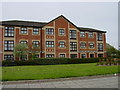
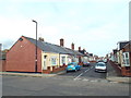
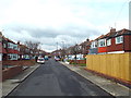
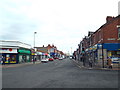
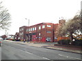
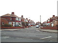
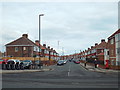
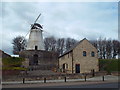
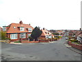
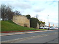
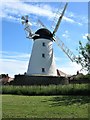
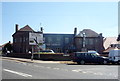
71 photos from this area
Area Information
Key information about the SR6 9HU including its size, population, and administrative classification.
- Area Type
- Postcode
- Area Size
- 7762 m²
- Population
- 1341
- Population Density
- 8093 people/km²
House Prices in SR6 9HU
26
Properties
£173,119
Average Sold Price
£42,000
Lowest Price
£269,950
Highest Price
Showing 26 properties
| Address | Type | Beds | Baths | Last Sale Price | Last Sale Date | |
|---|---|---|---|---|---|---|
| 7 Mill View Avenue, Sunderland, SR6 9HU | house | - | - | £200,000 | Jan 2022 | |
| 6 Mill View Avenue, Sunderland, SR6 9HU | Terraced | 3 | 2 | £234,500 | Nov 2021 | |
| 9 Mill View Avenue, Sunderland, SR6 9HU | house | 3 | - | £212,000 | Oct 2021 | |
| 2 Mill View Avenue, Sunderland, SR6 9HU | Semi-detached | 4 | 1 | £237,500 | Aug 2019 | |
| 27 Mill View Avenue, Sunderland, SR6 9HU | house | - | - | £269,950 | Feb 2017 | |
| 14 Mill View Avenue, Sunderland, SR6 9HU | house | - | - | £215,500 | Aug 2015 | |
| 31 Mill View Avenue, Sunderland, SR6 9HU | house | - | - | £227,500 | Jun 2015 | |
| 4 Mill View Avenue, Sunderland, SR6 9HU | house | - | - | £170,000 | Jul 2013 | |
| 20 Mill View Avenue, Sunderland, SR6 9HU | house | - | - | £169,950 | Nov 2012 | |
| 15 Mill View Avenue, Sunderland, SR6 9HU | Semi-detached | - | - | £123,000 | Oct 2008 |
Page 1 of 3
Energy Efficiency in SR6 9HU
Amenities
Schools
| Rank | School | Type | Entry gender | Ages |
|---|
Explore more schools in this area
Go to Schools tabDemographics
Household Size
Two person
most common
Accommodation Type
Houses
most common
Tenure
87
majority
Ethnic Group
White
most common
Religion
N/A
most common
Household Composition
N/A
most common
Age
47
median
Adults (30-64 years)
most common
Household Deprivation
N/A
with no deprivation
NS-SEC
35
in Lower managerial occupations
Explore more demographic insights in this area
Go to Demographics tabPlanning
Planning Constraints
- Flood RiskPremium
- Ramsar Wetland SitesPremium
- Area of Outstanding Natural BeautyPremium
- Protected Nature ReservePremium
- Protected WoodlandPremium