Area Overview for SR6 9AP
Photos of SR6 9AP
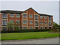
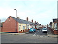
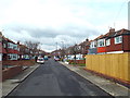
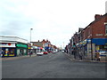
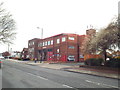
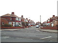
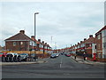
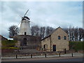
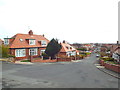
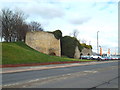
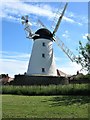
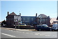
71 photos from this area
Area Information
Key information about the SR6 9AP including its size, population, and administrative classification.
- Area Type
- Postcode
- Area Size
- 1826 m²
- Population
- 1413
- Population Density
- 773822 people/km²
House Prices in SR6 9AP
9
Properties
£95,183
Average Sold Price
£40,000
Lowest Price
£132,000
Highest Price
Showing 9 properties
| Address | Type | Beds | Baths | Last Sale Price | Last Sale Date | |
|---|---|---|---|---|---|---|
| 286 Fulwell Road, Sunderland, SR6 9AP | Terraced | 3 | 1 | £114,000 | Apr 2023 | |
| 288 Fulwell Road, Sunderland, SR6 9AP | Retail | 1 | 1 | £45,100 | Jun 2022 | |
| 276 Fulwell Road, Sunderland, SR6 9AP | Terraced | 3 | 1 | £132,000 | Aug 2019 | |
| 280 Fulwell Road, Sunderland, SR6 9AP | Flat | - | - | £40,000 | Aug 2016 | |
| 274 Fulwell Road, Sunderland, SR6 9AP | Terraced | 3 | - | £120,000 | Oct 2008 | |
| 278 Fulwell Road, Sunderland, SR6 9AP | Terraced | 2 | 1 | £120,000 | Sep 2006 | |
| 288B Fulwell Road, Sunderland, SR6 9AP | Flat | - | - | - | - | |
| Bottom Floor Flat, 272 Fulwell Road, Sunderland, SR6 9AP | Flat | - | - | - | - | |
| Top Floor Flat, 272 Fulwell Road, Sunderland, SR6 9AP | Flat | - | - | - | - |
Energy Efficiency in SR6 9AP
Amenities
Schools
| Rank | School | Type | Entry gender | Ages |
|---|
Explore more schools in this area
Go to Schools tabDemographics
Household Size
Two person
most common
Accommodation Type
Houses
most common
Tenure
89
majority
Ethnic Group
White
most common
Religion
N/A
most common
Household Composition
N/A
most common
Age
47
median
Adults (30-64 years)
most common
Household Deprivation
N/A
with no deprivation
NS-SEC
32
in Lower managerial occupations
Explore more demographic insights in this area
Go to Demographics tabPlanning
Planning Constraints
- Flood RiskPremium
- Ramsar Wetland SitesPremium
- Area of Outstanding Natural BeautyPremium
- Protected Nature ReservePremium
- Protected WoodlandPremium