Area Overview for SR6 7UW
Photos of SR6 7UW
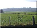
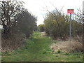
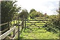
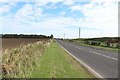
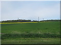
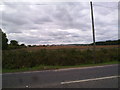
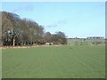
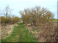
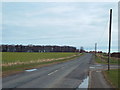
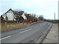
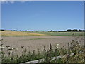

14 photos from this area
Area Information
Key information about the SR6 7UW including its size, population, and administrative classification.
- Area Type
- Postcode
- Area Size
- 23.3 hectares
- Population
- 1586
- Population Density
- 438 people/km²
House Prices in SR6 7UW
15
Properties
£505,111
Average Sold Price
£260,000
Lowest Price
£710,000
Highest Price
Showing 15 properties
| Address | Type | Beds | Baths | Last Sale Price | Last Sale Date | |
|---|---|---|---|---|---|---|
| 33 Sunderland Road, Cleadon, SR6 7UW | Detached | 3 | - | £710,000 | Apr 2019 | |
| Rose Cottage, 37 Sunderland Road, Cleadon, SR6 7UW | Detached | 4 | 3 | £520,000 | May 2017 | |
| 27 Sunderland Road, Cleadon, SR6 7UW | Semi-detached | 5 | 2 | £408,000 | Mar 2016 | |
| 41 Sunderland Road, Cleadon, SR6 7UW | Bungalow | 5 | - | £680,000 | May 2013 | |
| Bromley House, 49A Sunderland Road, Cleadon, SR6 7UW | Detached | - | - | £650,000 | Dec 2007 | |
| 45 Sunderland Road, Cleadon, SR6 7UW | Detached | - | - | £480,000 | Aug 2006 | |
| 43 Sunderland Road, Cleadon, SR6 7UW | Detached | - | - | £525,000 | May 2004 | |
| 35 Sunderland Road, Cleadon, SR6 7UW | Detached | - | - | £260,000 | Nov 2000 | |
| 49 Sunderland Road, Cleadon, SR6 7UW | Detached | - | - | £313,000 | Jun 1999 | |
| 25 Sunderland Road, Cleadon, SR6 7UW | Detached | - | - | - | - |
Page 1 of 2
Energy Efficiency in SR6 7UW
Amenities
Schools
| Rank | School | Type | Entry gender | Ages |
|---|
Explore more schools in this area
Go to Schools tabDemographics
Household Size
Two person
most common
Accommodation Type
Houses
most common
Tenure
91
majority
Ethnic Group
White
most common
Religion
N/A
most common
Household Composition
N/A
most common
Age
47
median
Adults (30-64 years)
most common
Household Deprivation
N/A
with no deprivation
NS-SEC
49
in Lower managerial occupations
Explore more demographic insights in this area
Go to Demographics tabPlanning
Planning Constraints
- Flood RiskPremium
- Ramsar Wetland SitesPremium
- Area of Outstanding Natural BeautyPremium
- Protected Nature ReservePremium
- Protected WoodlandPremium