Area Overview for SR6 0AQ
Photos of SR6 0AQ

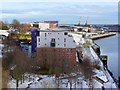
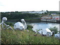
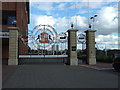
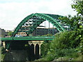
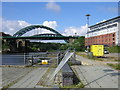
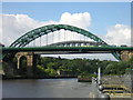
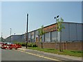

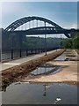
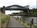
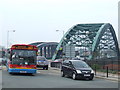
100 photos from this area
Area Information
Key information about the SR6 0AQ including its size, population, and administrative classification.
- Area Type
- Postcode
- Area Size
- 2.1 hectares
- Population
- 1589
- Population Density
- 2722 people/km²
House Prices in SR6 0AQ
69
Properties
£85,076
Average Sold Price
£35,900
Lowest Price
£170,000
Highest Price
Showing 69 properties
| Address | Type | Beds | Baths | Last Sale Price | Last Sale Date | |
|---|---|---|---|---|---|---|
| 62 Howick Park, Sunderland, SR6 0AQ | Terraced | 3 | 1 | £170,000 | Sep 2025 | |
| 49 Howick Park, Sunderland, SR6 0AQ | Semi-detached | 3 | 1 | £168,000 | Nov 2023 | |
| 70 Howick Park, Sunderland, SR6 0AQ | Flat | - | - | £45,000 | Aug 2021 | |
| 52 Howick Park, Sunderland, SR6 0AQ | Semi-detached | 3 | 1 | £115,000 | Jun 2019 | |
| 48 Howick Park, Sunderland, SR6 0AQ | Terraced | 3 | 1 | £90,000 | May 2019 | |
| 44 Howick Park, Sunderland, SR6 0AQ | house | 3 | 1 | £96,000 | Dec 2018 | |
| 57 Howick Park, Sunderland, SR6 0AQ | Terraced | 3 | 1 | £127,000 | Jun 2018 | |
| 29 Howick Park, Sunderland, SR6 0AQ | house | - | - | £92,050 | Apr 2018 | |
| 51 Howick Park, Sunderland, SR6 0AQ | house | - | - | £101,000 | Jun 2017 | |
| 68 Howick Park, Sunderland, SR6 0AQ | Flat | - | - | £58,000 | Aug 2015 |
Page 1 of 7
Energy Efficiency in SR6 0AQ
Amenities
Schools
| Rank | School | Type | Entry gender | Ages |
|---|
Explore more schools in this area
Go to Schools tabDemographics
Household Size
One person
most common
Accommodation Type
Flats
most common
Tenure
22
majority
Ethnic Group
White
most common
Religion
N/A
most common
Household Composition
N/A
most common
Age
47
median
Adults (30-64 years)
most common
Household Deprivation
N/A
with no deprivation
NS-SEC
15
in Lower managerial occupations
Explore more demographic insights in this area
Go to Demographics tabPlanning
Planning Constraints
- Flood RiskPremium
- Ramsar Wetland SitesPremium
- Area of Outstanding Natural BeautyPremium
- Protected Nature ReservePremium
- Protected WoodlandPremium