Area Overview for SR5 5LJ
Photos of SR5 5LJ
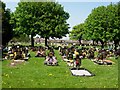
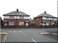
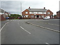
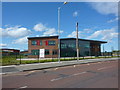
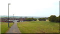
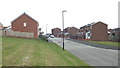
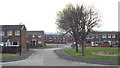
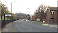
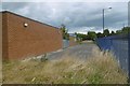
9 photos from this area
Area Information
Key information about the SR5 5LJ including its size, population, and administrative classification.
- Area Type
- Postcode
- Area Size
- 2.8 hectares
- Population
- 1517
- Population Density
- 5315 people/km²
House Prices in SR5 5LJ
25
Properties
£66,406
Average Sold Price
£32,000
Lowest Price
£80,000
Highest Price
Showing 25 properties
| Address | Type | Beds | Baths | Last Sale Price | Last Sale Date | |
|---|---|---|---|---|---|---|
| 31 Rutherglen Road, Sunderland, SR5 5LJ | Terraced | 3 | 1 | £80,000 | Jun 2023 | |
| 74 Rutherglen Road, Sunderland, SR5 5LJ | Semi-detached | 2 | 1 | £72,000 | Oct 2020 | |
| 54 Rutherglen Road, Sunderland, SR5 5LJ | Semi-detached | 2 | 1 | £75,000 | Sep 2020 | |
| 27 Rutherglen Road, Sunderland, SR5 5LJ | Terraced | 3 | 1 | £73,000 | Jan 2019 | |
| 25 Rutherglen Road, Sunderland, SR5 5LJ | house | - | - | £78,000 | Feb 2012 | |
| 56 Rutherglen Road, Sunderland, SR5 5LJ | Detached | 2 | 1 | £75,750 | Jul 2006 | |
| 70 Rutherglen Road, Sunderland, SR5 5LJ | Semi-detached | - | - | £45,500 | Sep 2003 | |
| 29 Rutherglen Road, Sunderland, SR5 5LJ | Terraced | - | - | £32,000 | May 1998 | |
| 60 Rutherglen Road, Sunderland, SR5 5LJ | Semi-detached | 2 | 1 | - | - | |
| 44 Rutherglen Road, Sunderland, SR5 5LJ | Flat | 1 | 1 | - | - |
Page 1 of 3
Energy Efficiency in SR5 5LJ
Amenities
Schools
| Rank | School | Type | Entry gender | Ages |
|---|
Explore more schools in this area
Go to Schools tabDemographics
Household Size
One person
most common
Accommodation Type
Houses
most common
Tenure
43
majority
Ethnic Group
White
most common
Religion
N/A
most common
Household Composition
N/A
most common
Age
47
median
Adults (30-64 years)
most common
Household Deprivation
N/A
with no deprivation
NS-SEC
14
in Lower managerial occupations
Explore more demographic insights in this area
Go to Demographics tabPlanning
Planning Constraints
- Flood RiskPremium
- Ramsar Wetland SitesPremium
- Area of Outstanding Natural BeautyPremium
- Protected Nature ReservePremium
- Protected WoodlandPremium