Area Overview for SR5 3EY
Photos of SR5 3EY
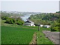
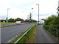
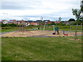
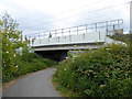
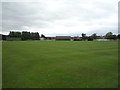
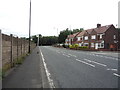
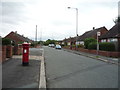

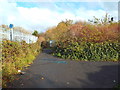
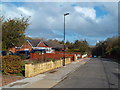
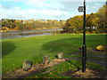
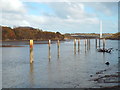
26 photos from this area
Area Information
Key information about the SR5 3EY including its size, population, and administrative classification.
- Area Type
- Postcode
- Area Size
- 10.0 hectares
- Population
- 1412
- Population Density
- 1592 people/km²
House Prices in SR5 3EY
46
Properties
£101,051
Average Sold Price
£28,750
Lowest Price
£139,950
Highest Price
Showing 46 properties
| Address | Type | Beds | Baths | Last Sale Price | Last Sale Date | |
|---|---|---|---|---|---|---|
| 7 Laburnum Grove, Castletown, Sunderland, SR5 3EY | Bungalow | - | - | £139,950 | Jul 2025 | |
| 24 Laburnum Grove, Castletown, Sunderland, SR5 3EY | Semi-detached | 3 | 1 | £116,000 | Aug 2024 | |
| 60 Laburnum Grove, Castletown, Sunderland, SR5 3EY | house | - | - | £95,000 | Sep 2022 | |
| 38 Laburnum Grove, Castletown, Sunderland, SR5 3EY | house | - | - | £124,950 | Sep 2022 | |
| 16 Laburnum Grove, Castletown, Sunderland, SR5 3EY | Retail | 2 | 1 | £115,000 | Jun 2022 | |
| 40 Laburnum Grove, Castletown, Sunderland, SR5 3EY | house | - | - | £115,000 | Dec 2021 | |
| 28 Laburnum Grove, Castletown, Sunderland, SR5 3EY | house | - | - | £100,000 | Nov 2020 | |
| 20 Laburnum Grove, Castletown, Sunderland, SR5 3EY | Semi-detached | - | - | £80,000 | Sep 2019 | |
| 62 Laburnum Grove, Castletown, Sunderland, SR5 3EY | house | - | - | £130,000 | Jun 2019 | |
| 10 Laburnum Grove, Castletown, Sunderland, SR5 3EY | Semi-detached | 3 | 2 | £110,000 | Oct 2018 |
Page 1 of 5
Energy Efficiency in SR5 3EY
Amenities
Schools
| Rank | School | Type | Entry gender | Ages |
|---|
Explore more schools in this area
Go to Schools tabDemographics
Household Size
Two person
most common
Accommodation Type
Houses
most common
Tenure
47
majority
Ethnic Group
White
most common
Religion
N/A
most common
Household Composition
N/A
most common
Age
47
median
Adults (30-64 years)
most common
Household Deprivation
N/A
with no deprivation
NS-SEC
12
in Lower managerial occupations
Explore more demographic insights in this area
Go to Demographics tabPlanning
Planning Constraints
- Flood RiskPremium
- Ramsar Wetland SitesPremium
- Area of Outstanding Natural BeautyPremium
- Protected Nature ReservePremium
- Protected WoodlandPremium