Area Overview for SR4 8QS
Photos of SR4 8QS
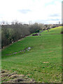
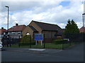
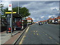
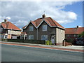
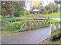
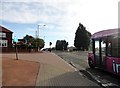
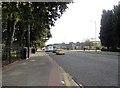
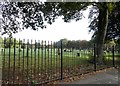
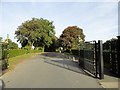
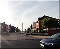
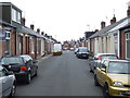
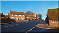
16 photos from this area
Area Information
Key information about the SR4 8QS including its size, population, and administrative classification.
- Area Type
- Postcode
- Area Size
- 1.8 hectares
- Population
- 1363
- Population Density
- 3499 people/km²
House Prices in SR4 8QS
20
Properties
£162,725
Average Sold Price
£58,500
Lowest Price
£249,950
Highest Price
Showing 20 properties
| Address | Type | Beds | Baths | Last Sale Price | Last Sale Date | |
|---|---|---|---|---|---|---|
| 52 Killingworth Drive, Sunderland, SR4 8QS | Bungalow | 2 | 1 | £249,950 | Apr 2025 | |
| 54 Killingworth Drive, Sunderland, SR4 8QS | Semi-detached | 3 | 2 | £223,750 | Jul 2023 | |
| 58 Killingworth Drive, Sunderland, SR4 8QS | Retail | 2 | 1 | £207,000 | Jun 2022 | |
| 89 Killingworth Drive, Sunderland, SR4 8QS | Semi-detached | 3 | 1 | £157,000 | Sep 2021 | |
| 62 Killingworth Drive, Sunderland, SR4 8QS | Semi-detached | 2 | 1 | £152,000 | Nov 2017 | |
| 60 Killingworth Drive, Sunderland, SR4 8QS | Semi-detached | 2 | 1 | £167,000 | Oct 2014 | |
| 79 Killingworth Drive, Sunderland, SR4 8QS | Bungalow | 2 | - | £152,500 | Nov 2012 | |
| 56 Killingworth Drive, Sunderland, SR4 8QS | Bungalow | 2 | - | £155,000 | Jan 2012 | |
| 83 Killingworth Drive, Sunderland, SR4 8QS | Bungalow | 2 | - | £130,000 | Dec 2011 | |
| 87 Killingworth Drive, Sunderland, SR4 8QS | Bungalow | - | - | £170,000 | Jul 2010 |
Page 1 of 2
Energy Efficiency in SR4 8QS
Amenities
Schools
| Rank | School | Type | Entry gender | Ages |
|---|
Explore more schools in this area
Go to Schools tabDemographics
Household Size
Two person
most common
Accommodation Type
Houses
most common
Tenure
89
majority
Ethnic Group
White
most common
Religion
N/A
most common
Household Composition
N/A
most common
Age
47
median
Adults (30-64 years)
most common
Household Deprivation
N/A
with no deprivation
NS-SEC
32
in Lower managerial occupations
Explore more demographic insights in this area
Go to Demographics tabPlanning
Planning Constraints
- Flood RiskPremium
- Ramsar Wetland SitesPremium
- Area of Outstanding Natural BeautyPremium
- Protected Nature ReservePremium
- Protected WoodlandPremium