Area Overview for SR4 8LD
Photos of SR4 8LD
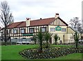
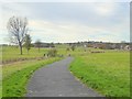
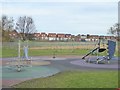
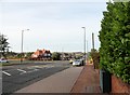
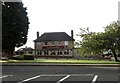
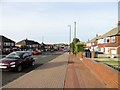
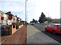
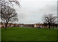
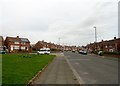
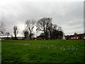
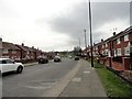
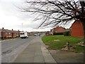
32 photos from this area
Area Information
Key information about the SR4 8LD including its size, population, and administrative classification.
- Area Type
- Postcode
- Area Size
- 1.0 hectares
- Population
- 1934
- Population Density
- 4925 people/km²
House Prices in SR4 8LD
33
Properties
£84,450
Average Sold Price
£28,000
Lowest Price
£131,000
Highest Price
Showing 33 properties
| Address | Type | Beds | Baths | Last Sale Price | Last Sale Date | |
|---|---|---|---|---|---|---|
| 60 Gillingham Road, Sunderland, SR4 8LD | Semi-detached | 2 | 1 | £117,500 | May 2025 | |
| 72 Gillingham Road, Sunderland, SR4 8LD | Semi-detached | 2 | 1 | £90,000 | Jan 2025 | |
| 74 Gillingham Road, Sunderland, SR4 8LD | Semi-detached | 2 | 1 | £89,950 | Aug 2024 | |
| 76 Gillingham Road, Sunderland, SR4 8LD | Semi-detached | 3 | 1 | £131,000 | Mar 2022 | |
| 30 Gillingham Road, Sunderland, SR4 8LD | Semi-detached | 3 | 1 | £98,500 | Feb 2022 | |
| 66 Gillingham Road, Sunderland, SR4 8LD | house | - | - | £97,500 | Aug 2021 | |
| 18 Gillingham Road, Sunderland, SR4 8LD | Bungalow | 2 | 1 | £127,400 | Oct 2020 | |
| 20 Gillingham Road, Sunderland, SR4 8LD | Bungalow | - | - | £111,700 | Aug 2019 | |
| 70 Gillingham Road, Sunderland, SR4 8LD | Semi-detached | 3 | 1 | £68,000 | Feb 2019 | |
| 50 Gillingham Road, Sunderland, SR4 8LD | Terraced | 3 | - | £102,000 | Apr 2018 |
Page 1 of 4
Energy Efficiency in SR4 8LD
Amenities
Schools
| Rank | School | Type | Entry gender | Ages |
|---|
Explore more schools in this area
Go to Schools tabDemographics
Household Size
One person
most common
Accommodation Type
Houses
most common
Tenure
55
majority
Ethnic Group
White
most common
Religion
N/A
most common
Household Composition
N/A
most common
Age
47
median
Adults (30-64 years)
most common
Household Deprivation
N/A
with no deprivation
NS-SEC
23
in Lower managerial occupations
Explore more demographic insights in this area
Go to Demographics tabPlanning
Planning Constraints
- Flood RiskPremium
- Ramsar Wetland SitesPremium
- Area of Outstanding Natural BeautyPremium
- Protected Nature ReservePremium
- Protected WoodlandPremium