Area Overview for SR4 8ER
Photos of SR4 8ER
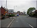
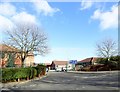
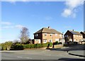

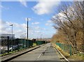
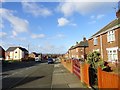
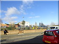
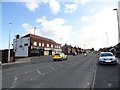
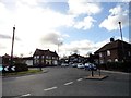
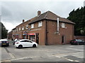
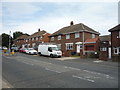
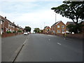
28 photos from this area
Area Information
Key information about the SR4 8ER including its size, population, and administrative classification.
- Area Type
- Postcode
- Area Size
- 1.8 hectares
- Population
- 1589
- Population Density
- 88584 people/km²
House Prices in SR4 8ER
60
Properties
£63,909
Average Sold Price
£19,380
Lowest Price
£100,000
Highest Price
Showing 60 properties
| Address | Type | Beds | Baths | Last Sale Price | Last Sale Date | |
|---|---|---|---|---|---|---|
| 49 Pitcairn Road, Sunderland, SR4 8ER | house | - | - | £70,000 | Jun 2024 | |
| 60 Pitcairn Road, Sunderland, SR4 8ER | Semi-detached | 3 | 1 | £73,000 | Jul 2020 | |
| 52 Pitcairn Road, Sunderland, SR4 8ER | Semi-detached | 3 | 1 | £85,000 | Jun 2019 | |
| 11 Pitcairn Road, Sunderland, SR4 8ER | Semi-detached | 3 | 1 | £88,000 | Aug 2018 | |
| 42 Pitcairn Road, Sunderland, SR4 8ER | Semi-detached | 3 | 1 | £80,000 | Sep 2014 | |
| 36 Pitcairn Road, Sunderland, SR4 8ER | Detached | 3 | 1 | £57,000 | Jul 2012 | |
| 78 Pitcairn Road, Sunderland, SR4 8ER | house | 3 | - | £61,500 | May 2012 | |
| 80 Pitcairn Road, Sunderland, SR4 8ER | Semi-detached | 3 | - | £72,000 | Jun 2008 | |
| 72 Pitcairn Road, Sunderland, SR4 8ER | Terraced | - | - | £100,000 | Nov 2007 | |
| 48 Pitcairn Road, Sunderland, SR4 8ER | Semi-detached | - | - | £95,000 | Jul 2006 |
Page 1 of 6
Energy Efficiency in SR4 8ER
Amenities
Schools
| Rank | School | Type | Entry gender | Ages |
|---|
Explore more schools in this area
Go to Schools tabDemographics
Household Size
Family (3-5 people)
most common
Accommodation Type
Houses
most common
Tenure
44
majority
Ethnic Group
White
most common
Religion
N/A
most common
Household Composition
N/A
most common
Age
47
median
Adults (30-64 years)
most common
Household Deprivation
N/A
with no deprivation
NS-SEC
16
in Lower managerial occupations
Explore more demographic insights in this area
Go to Demographics tabPlanning
Planning Constraints
- Flood RiskPremium
- Ramsar Wetland SitesPremium
- Area of Outstanding Natural BeautyPremium
- Protected Nature ReservePremium
- Protected WoodlandPremium