Area Overview for SR4 7UY
Photos of SR4 7UY
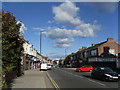
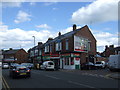
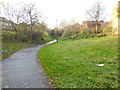
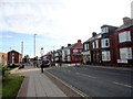
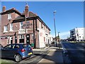
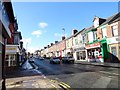
36 photos from this area
Area Information
Key information about the SR4 7UY including its size, population, and administrative classification.
- Area Type
- Postcode
- Area Size
- 1.2 hectares
- Population
- 1489
- Population Density
- 126136 people/km²
House Prices in SR4 7UY
67
Properties
£92,119
Average Sold Price
£28,500
Lowest Price
£145,000
Highest Price
Showing 67 properties
| Address | Type | Beds | Baths | Last Sale Price | Last Sale Date | |
|---|---|---|---|---|---|---|
| 95 Sorley Street, Sunderland, SR4 7UY | Terraced | 3 | 1 | £93,000 | Mar 2025 | |
| 86 Sorley Street, Sunderland, SR4 7UY | Bungalow | 2 | 1 | £45,000 | Aug 2024 | |
| 98 Sorley Street, Sunderland, SR4 7UY | Terraced | 3 | 2 | £117,500 | Jul 2024 | |
| 117 Sorley Street, Sunderland, SR4 7UY | house | - | - | £137,000 | Mar 2024 | |
| 77 Sorley Street, Sunderland, SR4 7UY | Terraced | 3 | - | £107,000 | Nov 2023 | |
| 104 Sorley Street, Sunderland, SR4 7UY | Terraced | 3 | 1 | £115,000 | Jun 2023 | |
| 105 Sorley Street, Sunderland, SR4 7UY | house | 3 | 1 | £145,000 | Apr 2022 | |
| 81 Sorley Street, Sunderland, SR4 7UY | house | 2 | - | £98,000 | Apr 2022 | |
| 112 Sorley Street, Sunderland, SR4 7UY | house | 3 | - | £100,000 | Aug 2021 | |
| 79 Sorley Street, Sunderland, SR4 7UY | house | - | - | £86,000 | Jun 2021 |
Page 1 of 7
Energy Efficiency in SR4 7UY
Amenities
Schools
| Rank | School | Type | Entry gender | Ages |
|---|
Explore more schools in this area
Go to Schools tabDemographics
Household Size
One person
most common
Accommodation Type
Houses
most common
Tenure
56
majority
Ethnic Group
White
most common
Religion
N/A
most common
Household Composition
N/A
most common
Age
47
median
Adults (30-64 years)
most common
Household Deprivation
N/A
with no deprivation
NS-SEC
20
in Lower managerial occupations
Explore more demographic insights in this area
Go to Demographics tabPlanning
Planning Constraints
- Flood RiskPremium
- Ramsar Wetland SitesPremium
- Area of Outstanding Natural BeautyPremium
- Protected Nature ReservePremium
- Protected WoodlandPremium