Area Overview for SR4 7LY
Photos of SR4 7LY

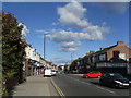
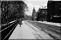
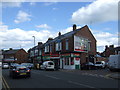
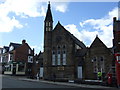
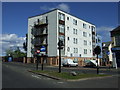
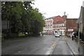
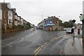
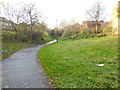
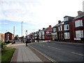
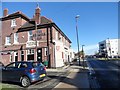
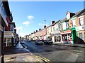
36 photos from this area
Area Information
Key information about the SR4 7LY including its size, population, and administrative classification.
- Area Type
- Postcode
- Area Size
- 2800 m²
- Population
- 1465
- Population Density
- 523244 people/km²
House Prices in SR4 7LY
16
Properties
£56,050
Average Sold Price
£30,000
Lowest Price
£108,000
Highest Price
Showing 16 properties
| Address | Type | Beds | Baths | Last Sale Price | Last Sale Date | |
|---|---|---|---|---|---|---|
| 10 Burnville Road, Sunderland, SR4 7LY | Flat | 2 | 1 | £59,000 | Nov 2021 | |
| 9 Burnville Road, Sunderland, SR4 7LY | Flat | - | - | £39,000 | Sep 2021 | |
| 7 BURNVILLE ROAD, Sunderland, SR4 7LY | Flat | - | - | £35,000 | Mar 2021 | |
| 8 Burnville Road, Sunderland, SR4 7LY | Flat | - | - | £35,000 | Mar 2021 | |
| 14 Burnville Road, Sunderland, SR4 7LY | Flat | 2 | - | £30,000 | May 2019 | |
| 13 Burnville Road, Sunderland, SR4 7LY | Flat | - | - | £39,950 | Jul 2017 | |
| 1 Burnville Road, Sunderland, SR4 7LY | Terraced | - | - | £100,000 | Jun 2007 | |
| 4 Burnville Road, Sunderland, SR4 7LY | house | - | - | £108,000 | Sep 2006 | |
| 12 Burnville Road, Sunderland, SR4 7LY | Flat | - | - | £58,500 | Jun 2006 | |
| 15 Burnville Road, Sunderland, SR4 7LY | Flat | - | - | - | - |
Page 1 of 2
Energy Efficiency in SR4 7LY
Amenities
Schools
| Rank | School | Type | Entry gender | Ages |
|---|
Explore more schools in this area
Go to Schools tabDemographics
Household Size
Family (3-5 people)
most common
Accommodation Type
Houses
most common
Tenure
67
majority
Ethnic Group
White
most common
Religion
N/A
most common
Household Composition
N/A
most common
Age
47
median
Adults (30-64 years)
most common
Household Deprivation
N/A
with no deprivation
NS-SEC
25
in Lower managerial occupations
Explore more demographic insights in this area
Go to Demographics tabPlanning
Planning Constraints
- Flood RiskPremium
- Ramsar Wetland SitesPremium
- Area of Outstanding Natural BeautyPremium
- Protected Nature ReservePremium
- Protected WoodlandPremium