Area Overview for SR4 7LG
Photos of SR4 7LG
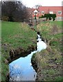
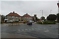
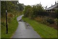
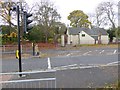
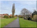
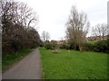
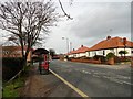
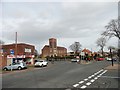
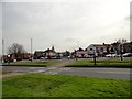
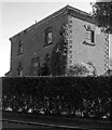
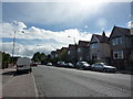
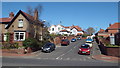
23 photos from this area
Area Information
Key information about the SR4 7LG including its size, population, and administrative classification.
- Area Type
- Postcode
- Area Size
- 1.1 hectares
- Population
- 1424
- Population Density
- 125042 people/km²
House Prices in SR4 7LG
18
Properties
£152,454
Average Sold Price
£65,000
Lowest Price
£260,000
Highest Price
Showing 18 properties
| Address | Type | Beds | Baths | Last Sale Price | Last Sale Date | |
|---|---|---|---|---|---|---|
| 19 Ranson Street, Sunderland, SR4 7LG | Semi-detached | 3 | 1 | £260,000 | Mar 2025 | |
| 35 Ranson Street, Sunderland, SR4 7LG | house | - | - | £165,000 | Oct 2020 | |
| 27 Ranson Street, Sunderland, SR4 7LG | Semi-detached | 3 | 1 | £190,000 | Dec 2019 | |
| 18 Ranson Street, Sunderland, SR4 7LG | Semi-detached | 4 | - | £234,500 | Mar 2018 | |
| 8 Ranson Street, Sunderland, SR4 7LG | Semi-detached | 3 | 2 | £135,000 | Jan 2014 | |
| 12 Ranson Street, Sunderland, SR4 7LG | Semi-detached | - | - | £187,000 | Nov 2007 | |
| 21 Ranson Street, Sunderland, SR4 7LG | house | - | - | £155,000 | Mar 2005 | |
| 14 Ranson Street, Sunderland, SR4 7LG | Semi-detached | - | - | £120,000 | Dec 2003 | |
| 20 Ranson Street, Sunderland, SR4 7LG | house | - | - | £180,000 | Nov 2003 | |
| 25 Ranson Street, Sunderland, SR4 7LG | Detached | 4 | 1 | £68,950 | Aug 1998 |
Page 1 of 2
Energy Efficiency in SR4 7LG
Amenities
Schools
| Rank | School | Type | Entry gender | Ages |
|---|
Explore more schools in this area
Go to Schools tabDemographics
Household Size
Two person
most common
Accommodation Type
Houses
most common
Tenure
86
majority
Ethnic Group
White
most common
Religion
N/A
most common
Household Composition
N/A
most common
Age
47
median
Adults (30-64 years)
most common
Household Deprivation
N/A
with no deprivation
NS-SEC
41
in Lower managerial occupations
Explore more demographic insights in this area
Go to Demographics tabPlanning
Planning Constraints
- Flood RiskPremium
- Ramsar Wetland SitesPremium
- Area of Outstanding Natural BeautyPremium
- Protected Nature ReservePremium
- Protected WoodlandPremium