Area Overview for SR4 7BT
Photos of SR4 7BT

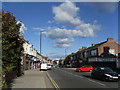

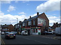
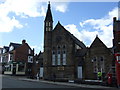
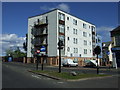
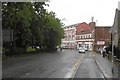
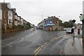
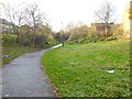
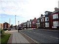
36 photos from this area
Area Information
Key information about the SR4 7BT including its size, population, and administrative classification.
- Area Type
- Postcode
- Area Size
- 2126 m²
- Population
- 1454
- Population Density
- 7046 people/km²
House Prices in SR4 7BT
16
Properties
£54,979
Average Sold Price
£27,000
Lowest Price
£112,500
Highest Price
Showing 16 properties
| Address | Type | Beds | Baths | Last Sale Price | Last Sale Date | |
|---|---|---|---|---|---|---|
| 5 Earl Street, Sunderland, SR4 7BT | Terraced | 3 | 1 | £83,000 | Jun 2025 | |
| 9 Earl Street, Sunderland, SR4 7BT | Bungalow | 2 | 1 | £63,250 | May 2024 | |
| 3 Earl Street, Sunderland, SR4 7BT | Terraced | 2 | 2 | £45,000 | Jun 2022 | |
| 16 Earl Street, Sunderland, SR4 7BT | Bungalow | - | - | £70,000 | Sep 2020 | |
| 6 Earl Street, Sunderland, SR4 7BT | Cottage | 2 | 1 | £41,000 | Jul 2018 | |
| 10 Earl Street, Sunderland, SR4 7BT | Terraced | 2 | 1 | £39,995 | Apr 2018 | |
| 2 Earl Street, Sunderland, SR4 7BT | Bungalow | 2 | - | £60,500 | Dec 2011 | |
| 7 Earl Street, Sunderland, SR4 7BT | Cottage | 2 | 1 | £56,000 | Mar 2009 | |
| 15 Earl Street, Sunderland, SR4 7BT | Terraced | 4 | 1 | £112,500 | Jun 2008 | |
| 11 Earl Street, Sunderland, SR4 7BT | Cottage | 1 | 1 | £29,500 | Jan 2002 |
Page 1 of 2
Energy Efficiency in SR4 7BT
Amenities
Schools
| Rank | School | Type | Entry gender | Ages |
|---|
Explore more schools in this area
Go to Schools tabDemographics
Household Size
One person
most common
Accommodation Type
Houses
most common
Tenure
51
majority
Ethnic Group
White
most common
Religion
N/A
most common
Household Composition
N/A
most common
Age
47
median
Adults (30-64 years)
most common
Household Deprivation
N/A
with no deprivation
NS-SEC
19
in Lower managerial occupations
Explore more demographic insights in this area
Go to Demographics tabPlanning
Planning Constraints
- Flood RiskPremium
- Ramsar Wetland SitesPremium
- Area of Outstanding Natural BeautyPremium
- Protected Nature ReservePremium
- Protected WoodlandPremium