Area Overview for SR4 6PH
Photos of SR4 6PH

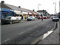
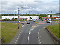
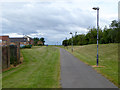
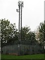
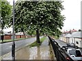
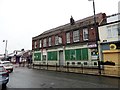
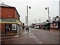
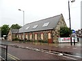
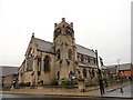
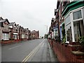
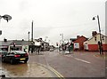
50 photos from this area
Area Information
Key information about the SR4 6PH including its size, population, and administrative classification.
- Area Type
- Postcode
- Area Size
- 2876 m²
- Population
- 1502
- Population Density
- 522257 people/km²
House Prices in SR4 6PH
10
Properties
£80,167
Average Sold Price
£25,000
Lowest Price
£112,000
Highest Price
Showing 10 properties
| Address | Type | Beds | Baths | Last Sale Price | Last Sale Date | |
|---|---|---|---|---|---|---|
| 36 Oxford Street, Sunderland, SR4 6PH | house | - | - | £93,000 | Dec 2022 | |
| 37 Oxford Street, Sunderland, SR4 6PH | Terraced | 2 | 1 | £112,000 | Nov 2022 | |
| 29 Oxford Street, Sunderland, SR4 6PH | Terraced | 2 | - | £72,000 | May 2014 | |
| 39 Oxford Street, Sunderland, SR4 6PH | Semi-detached | - | - | £80,000 | Dec 2012 | |
| 34 Oxford Street, Sunderland, SR4 6PH | Terraced | - | - | £99,000 | Aug 2007 | |
| 30 Oxford Street, Sunderland, SR4 6PH | Semi-detached | - | - | £25,000 | Dec 1996 | |
| 33 Oxford Street, Sunderland, SR4 6PH | house | - | - | - | - | |
| 35 Oxford Street, Sunderland, SR4 6PH | house | - | - | - | - | |
| 32 Oxford Street, Sunderland, SR4 6PH | house | - | - | - | - | |
| 31 Oxford Street, Sunderland, SR4 6PH | house | - | - | - | - |
Energy Efficiency in SR4 6PH
Amenities
Schools
| Rank | School | Type | Entry gender | Ages |
|---|
Explore more schools in this area
Go to Schools tabDemographics
Household Size
N/A
most common
Accommodation Type
N/A
most common
Tenure
N/A
majority
Ethnic Group
N/A
most common
Religion
N/A
most common
Household Composition
N/A
most common
Age
N/A
median
N/A
most common
Household Deprivation
N/A
with no deprivation
NS-SEC
N/A
in Lower managerial occupations
Explore more demographic insights in this area
Go to Demographics tabPlanning
Planning Constraints
- Flood RiskPremium
- Ramsar Wetland SitesPremium
- Area of Outstanding Natural BeautyPremium
- Protected Nature ReservePremium
- Protected WoodlandPremium