Area Overview for SR4 0HA
Photos of SR4 0HA

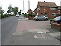
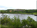
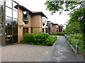
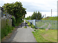
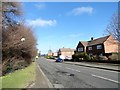
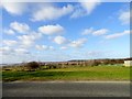
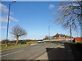
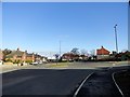
43 photos from this area
Area Information
Key information about the SR4 0HA including its size, population, and administrative classification.
- Area Type
- Postcode
- Area Size
- 1.5 hectares
- Population
- 2478
- Population Density
- 5975 people/km²
House Prices in SR4 0HA
52
Properties
£71,947
Average Sold Price
£32,500
Lowest Price
£110,000
Highest Price
Showing 52 properties
| Address | Type | Beds | Baths | Last Sale Price | Last Sale Date | |
|---|---|---|---|---|---|---|
| 362 Saint Lukes Road, Sunderland, SR4 0HA | house | - | - | £85,000 | Sep 2025 | |
| 378 Saint Lukes Road, Sunderland, SR4 0HA | Semi-detached | 3 | 1 | £110,000 | May 2024 | |
| 402 Saint Lukes Road, Sunderland, SR4 0HA | Terraced | 2 | 1 | £86,000 | Aug 2023 | |
| 384 SAINT LUKES ROAD, Sunderland, SR4 0HA | Terraced | 2 | 1 | £80,000 | Mar 2023 | |
| 418 Saint Lukes Road, Sunderland, SR4 0HA | Semi-detached | 3 | 1 | £92,000 | Dec 2022 | |
| 382 Saint Lukes Road, Sunderland, SR4 0HA | Semi-detached | 2 | - | £80,000 | Oct 2021 | |
| 426 Saint Lukes Road, Sunderland, SR4 0HA | Semi-detached | 2 | 1 | £66,000 | Nov 2020 | |
| 372 Saint Lukes Road, Sunderland, SR4 0HA | Terraced | 3 | 1 | £59,000 | Jun 2020 | |
| 374 Saint Lukes Road, Sunderland, SR4 0HA | house | - | - | £57,500 | Nov 2019 | |
| 366 Saint Lukes Road, Sunderland, SR4 0HA | Semi-detached | 3 | 1 | £90,000 | Apr 2017 |
Page 1 of 6
Energy Efficiency in SR4 0HA
Amenities
Schools
| Rank | School | Type | Entry gender | Ages |
|---|
Explore more schools in this area
Go to Schools tabDemographics
Household Size
Family (3-5 people)
most common
Accommodation Type
Houses
most common
Tenure
47
majority
Ethnic Group
White
most common
Religion
N/A
most common
Household Composition
N/A
most common
Age
47
median
Adults (30-64 years)
most common
Household Deprivation
N/A
with no deprivation
NS-SEC
17
in Lower managerial occupations
Explore more demographic insights in this area
Go to Demographics tabPlanning
Planning Constraints
- Flood RiskPremium
- Ramsar Wetland SitesPremium
- Area of Outstanding Natural BeautyPremium
- Protected Nature ReservePremium
- Protected WoodlandPremium