Area Overview for SR4 0BG
Photos of SR4 0BG

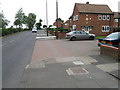
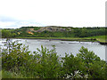
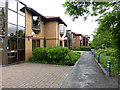
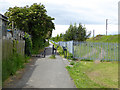
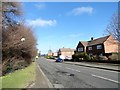
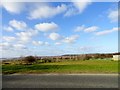
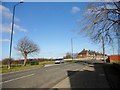
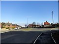
43 photos from this area
Area Information
Key information about the SR4 0BG including its size, population, and administrative classification.
- Area Type
- Postcode
- Area Size
- 7542 m²
- Population
- 2478
- Population Density
- 5975 people/km²
House Prices in SR4 0BG
63
Properties
£123,114
Average Sold Price
£101,646
Lowest Price
£142,995
Highest Price
Showing 63 properties
| Address | Type | Beds | Baths | Last Sale Price | Last Sale Date | |
|---|---|---|---|---|---|---|
| 9 Fletcher Close, Sunderland, SR4 0BG | Semi-detached | 2 | - | £113,000 | Feb 2023 | |
| 17 Fletcher Close, Sunderland, SR4 0BG | Detached | 3 | - | £135,000 | Feb 2022 | |
| 32 Fletcher Close, Sunderland, SR4 0BG | house | - | - | £116,000 | Jun 2021 | |
| 12 Fletcher Close, Sunderland, SR4 0BG | house | - | - | £106,995 | May 2018 | |
| 15 Fletcher Close, Sunderland, SR4 0BG | house | - | - | £130,145 | Apr 2018 | |
| 16 Fletcher Close, Sunderland, SR4 0BG | house | - | - | £142,995 | Apr 2018 | |
| 10 Fletcher Close, Sunderland, SR4 0BG | house | - | - | £141,995 | Dec 2017 | |
| 22 Fletcher Close, Sunderland, SR4 0BG | house | - | - | £107,345 | Dec 2017 | |
| 28 Fletcher Close, Sunderland, SR4 0BG | house | - | - | £119,995 | Dec 2017 | |
| 25 Fletcher Close, Sunderland, SR4 0BG | house | - | - | £122,545 | Nov 2017 |
Page 1 of 7
Energy Efficiency in SR4 0BG
Amenities
Schools
| Rank | School | Type | Entry gender | Ages |
|---|
Explore more schools in this area
Go to Schools tabDemographics
Household Size
Family (3-5 people)
most common
Accommodation Type
Houses
most common
Tenure
47
majority
Ethnic Group
White
most common
Religion
N/A
most common
Household Composition
N/A
most common
Age
47
median
Adults (30-64 years)
most common
Household Deprivation
N/A
with no deprivation
NS-SEC
17
in Lower managerial occupations
Explore more demographic insights in this area
Go to Demographics tabPlanning
Planning Constraints
- Flood RiskPremium
- Ramsar Wetland SitesPremium
- Area of Outstanding Natural BeautyPremium
- Protected Nature ReservePremium
- Protected WoodlandPremium