Area Overview for SR4 0AU
Photos of SR4 0AU
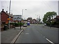
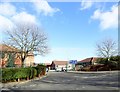
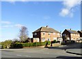
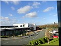
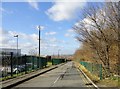
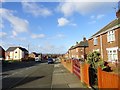
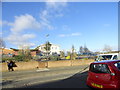
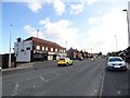
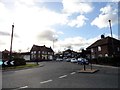
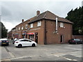
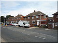
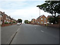
28 photos from this area
Area Information
Key information about the SR4 0AU including its size, population, and administrative classification.
- Area Type
- Postcode
- Area Size
- 2.1 hectares
- Population
- 1659
- Population Density
- 2132 people/km²
House Prices in SR4 0AU
56
Properties
£82,813
Average Sold Price
£20,300
Lowest Price
£125,000
Highest Price
Showing 56 properties
| Address | Type | Beds | Baths | Last Sale Price | Last Sale Date | |
|---|---|---|---|---|---|---|
| 98 Fordham Road, Sunderland, SR4 0AU | Terraced | 3 | 1 | £115,000 | Jun 2023 | |
| 105 Fordham Road, Sunderland, SR4 0AU | house | - | - | £86,000 | Oct 2022 | |
| 67 Fordham Road, Sunderland, SR4 0AU | house | - | - | £115,000 | Sep 2022 | |
| 83 Fordham Road, Sunderland, SR4 0AU | house | 3 | 1 | £110,000 | Sep 2022 | |
| 87 Fordham Road, Sunderland, SR4 0AU | house | - | - | £107,000 | Jan 2022 | |
| 75 Fordham Road, Sunderland, SR4 0AU | house | - | - | £77,000 | Dec 2020 | |
| 80 Fordham Road, Sunderland, SR4 0AU | house | - | - | £89,950 | Jan 2020 | |
| 78 Fordham Road, Sunderland, SR4 0AU | house | - | - | £125,000 | Aug 2017 | |
| 102 Fordham Road, Sunderland, SR4 0AU | house | 3 | - | £60,000 | Mar 2015 | |
| 89 Fordham Road, Sunderland, SR4 0AU | house | - | - | £75,000 | Nov 2011 |
Page 1 of 6
Energy Efficiency in SR4 0AU
Amenities
Schools
| Rank | School | Type | Entry gender | Ages |
|---|
Explore more schools in this area
Go to Schools tabDemographics
Household Size
One person
most common
Accommodation Type
Houses
most common
Tenure
36
majority
Ethnic Group
White
most common
Religion
N/A
most common
Household Composition
N/A
most common
Age
47
median
Adults (30-64 years)
most common
Household Deprivation
N/A
with no deprivation
NS-SEC
13
in Lower managerial occupations
Explore more demographic insights in this area
Go to Demographics tabPlanning
Planning Constraints
- Flood RiskPremium
- Ramsar Wetland SitesPremium
- Area of Outstanding Natural BeautyPremium
- Protected Nature ReservePremium
- Protected WoodlandPremium