Area Overview for SR3 4LL
Photos of SR3 4LL
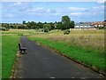
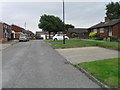
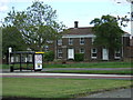
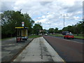
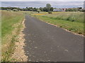
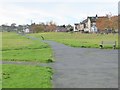
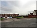
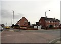
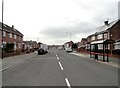
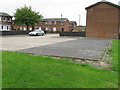
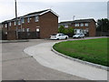
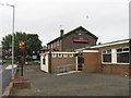
19 photos from this area
Area Information
Key information about the SR3 4LL including its size, population, and administrative classification.
- Area Type
- Postcode
- Area Size
- 1.2 hectares
- Population
- 1401
- Population Density
- 113167 people/km²
House Prices in SR3 4LL
35
Properties
£117,700
Average Sold Price
£65,000
Lowest Price
£149,000
Highest Price
Showing 35 properties
| Address | Type | Beds | Baths | Last Sale Price | Last Sale Date | |
|---|---|---|---|---|---|---|
| 18 Thorney Close Road, Sunderland, SR3 4LL | Terraced | 2 | 1 | £65,000 | Jan 2024 | |
| 3 Thorney Close Road, Sunderland, SR3 4LL | house | 2 | 1 | £84,000 | Jul 2022 | |
| 15 Thorney Close Road, Sunderland, SR3 4LL | Terraced | 3 | 1 | £115,000 | Mar 2022 | |
| 19 Thorney Close Road, Sunderland, SR3 4LL | Semi-detached | 3 | 2 | £117,500 | Apr 2017 | |
| 9 Thorney Close Road, Sunderland, SR3 4LL | Terraced | 3 | 2 | £105,000 | Dec 2016 | |
| 23 Thorney Close Road, Sunderland, SR3 4LL | Terraced | 3 | - | £134,999 | Sep 2014 | |
| 17 Thorney Close Road, Sunderland, SR3 4LL | house | 3 | - | £130,000 | May 2011 | |
| 7 Thorney Close Road, Sunderland, SR3 4LL | house | - | - | £130,000 | Dec 2009 | |
| 29 Thorney Close Road, Sunderland, SR3 4LL | house | - | - | £130,000 | Jun 2009 | |
| 21 Thorney Close Road, Sunderland, SR3 4LL | Semi-detached | 3 | - | £128,000 | Jan 2009 |
Page 1 of 4
Energy Efficiency in SR3 4LL
Amenities
Schools
| Rank | School | Type | Entry gender | Ages |
|---|
Explore more schools in this area
Go to Schools tabDemographics
Household Size
N/A
most common
Accommodation Type
N/A
most common
Tenure
N/A
majority
Ethnic Group
N/A
most common
Religion
N/A
most common
Household Composition
N/A
most common
Age
N/A
median
N/A
most common
Household Deprivation
N/A
with no deprivation
NS-SEC
N/A
in Lower managerial occupations
Explore more demographic insights in this area
Go to Demographics tabPlanning
Planning Constraints
- Flood RiskPremium
- Ramsar Wetland SitesPremium
- Area of Outstanding Natural BeautyPremium
- Protected Nature ReservePremium
- Protected WoodlandPremium